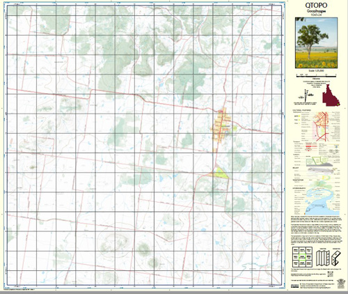
Goombungee 1-25,000 Topographic Map QLD
$15.95 – $30.95
Description:
Print on Demand
Locations within this Map
Silverleigh Hillside Wilmay Goombungee Boah Peak Boah Waterhole Cooby Creek Doctor Creek Gomaren Creek King County of Aubigny Kudo Little Gomaren Creek Nara Highland Plains Rosalie Shire Little Goomaren Creek
| Name: | Goombungee 9243-24 |
| Publisher: | Queensland Government |
| Scale: | 1:25000 |
| Latitude Range: | 27° 15.0′ S – 27° 22.5′ S |
| Longitude Range: | 151° 45.0′ E – 151° 52.5′ E |
| Projection / Datum: | Universal Transverse Mercator, GDA 94 |
| Approx Print Size: | 0.56m X 0.56m |
Read More


