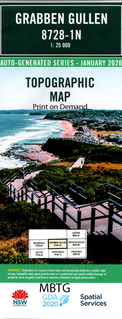
Grabben Gullen 1-25,000 NSW Topographic Map
Price range: $16.95 through $31.95
Description:
8728-1-N Print on Demand
Locations within this Map
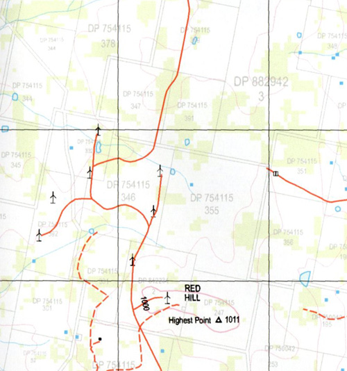
Bannister Biala Creek Cherry Tree Springs Clear Hills Fern Creek Fitton Mount Fitton Grabben Gullen Grabben Gullen Creek Gullen Cemetery Gullen Ridge Gum Flat Creek Highest Point Johns Creek The Cherry Tree Springs The Clear Hills General Cemetery At Gullen The Gullen Range Kialla Lampton Leachs Springs Little Plain The Little Plain Long Gully Medway Native Dog Flat Red Hill The Red Hill Sandy Creek The Sandy Creek Sawpit Creek Saw Pit Gully Creek Smiths Creek Smiths Gully Spring Gully Stains Springs Teatree Springs The Tea Tree Springs The Two Long Hundreds Turners Springs Waterhole Flats The Waterhole Flats Wattle Creek Wheeo Winduella Bushes Flat Biala Gullen Avoca
| Name: | Grabben Gullen |
| Publisher: | New South Wales Government |
| Scale: | 1:25000 |
| Latitude Range: | 34° 30.0′ S – 34° 37.5′ S |
| Longitude Range: | 149° 15.0′ E – 149° 30.0′ E |
| Datum: | GDA 94 |
| Approx Print Size: | 0.56m X 1.11m |
Read More