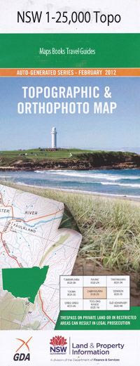
Henry River 1-25,000 NSW Topographic Map
$16.95 – $31.95
Description:
9338-3-N Print on Demand
Bundilla Abbey Green Bald Sugarloaf Ben Nevis Blacks Creek Blady Grass Creek Brothers Mountains Brothers State Forest Crayfish Creek Fensons Walls Four Mile Creek Greenhide Creek Henry Henry Falls Henry Gulf Henry River Henry Valley Lookout Hewitts Peak Fensons or Henry Gulf Henry River Falls High Mountain Kings Creek Kingsgate Kingsgate Mountain Lands End Lookout Little Henry River London Bridge London Bridge Lookout London Bridge Flora Reserve London Bridge State Forest Long Waterhole Creek Louisa Creek The Middle Dam Myrtle Creek The Narrow Pass Newton Boyd North Branch of Little Henry River The North Dam Oakwood Creek Prairie Creek Prairie Gully Pretty Valley Pretty Valley Creek Rowes Mistake Creek Rowes Mistake Gulf Saddle Creek Sawpit Gully The South Dam Stockyard Creek Sunnyside Creek The Brothers The Falls Mount Walmsley Walmsleys Pass Wattle Flat Dingo Creek
| Name: | Henry River |
| Publisher: | New South Wales Government |
| Scale: | 1:25000 |
| Latitude Range: | 29° 45.0′ S – 29° 52.5′ S |
| Longitude Range: | 152° 0.0′ E – 152° 15.0′ E |
| Datum: | GDA 94 |
| Approx Print Size: | 0.56m X 1.11m |

