

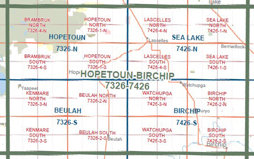
HOPETOUN BIRCHIP 1-100,000 Vicmap Topo 7326-7426
$14.00
Description:
HOPETOUN BIRCHIP 1-100,000 Vicmap Topographic Map 7326-7426 NOW PRINT ON DEMAND is used for Walking, 4WD, Fishing, Camping, Motorcycle, both On and Off Road, Gold Prospecting and for those simply going for a family weekend drive.
This is a new series of 1-100,000 scale maps, all sections of Victoria are covered by these maps.
Topographical maps show not only Contours of the Terrain but Walking Tracks, Sealed and Unsealed Roads, Rivers, Creeks, Lakes, Historical Points of Interest, Old Mine Sites and National and State Park areas.
Main Features of this map includes:
Hopetoun, Birchip, Part of Wyperfeld National Park, MOUNT MATTINGLEY, PARADISE F.F.R., Yaapeet, Rainbow, Brentwood, Pullut, Beulah West, Hopevale, Dattuck, WATHE F.F.R., Lake Coorong, Goyura, Rosebery, Beulah, Galaquil, Galaquil East, Kurdweechee, Reedy Dam, Woomelang, Lascelles, Gama, Sea Lake, GREEN LAKE, Banyan, Watchupga, Curyo, Kinnabulla, Tchum Lakes, Whirily, Sutton, Berriwillock
You may also like…
-
Birchip 1-50,000 Vicmap
Price range: $12.00 through $24.00Select options This product has multiple variants. The options may be chosen on the product page -
Ouyen 1-250,000 Topographic Map
Price range: $15.95 through $30.95Select options This product has multiple variants. The options may be chosen on the product page -
Beulah 1-50,000 Vicmap
Price range: $12.00 through $24.00Select options This product has multiple variants. The options may be chosen on the product page -
Hopetoun 1-50,000 Vicmap
Price range: $12.00 through $24.00Select options This product has multiple variants. The options may be chosen on the product page