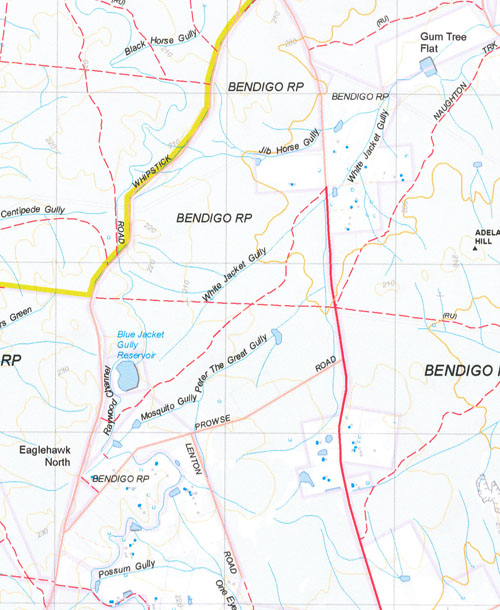
Huntly 1-50,000 Vicmap
$12.00 – $24.00
Description:
Huntly 1-50,000 scale Vicmap Topographical map 7724N is used for Walking, 4WD, Fishing, Camping, Motorcycle, both On and Off Road, Gold Prospecting and for those simply going for a family weekend drive.
Topographical maps show not only Contours of the Terrain but Walking Tracks, Sealed and Unsealed Roads, Rivers, Creeks, Lakes, Historical Point of Interest, Old Mine Sites mbtg and National and State Park areas.
Main Features of this map include:
This map shows most of Bendigo and the Greater Bendigo National Park. This is a major gold prospecting area.
Huntly, Fosterville, White Hills, Eaglehawk, Long Gully, part of Greater Bendigo NP, Swipers Hill, Notley, Apple Tree Gully, Whipstick NCR, Huntly SSR, mbtg, Bagshot, part of Wellsford SF, Crabhole Creek, Rehes Mine, Fosterville Gold Mine, Gunyah Creek, Eaglehawk North, Apollo Hill, Lightning Hill, Ironstone Hill, Yankee Creek, mbtg, Mount Sugarloaf, Longlea Commonwealth Area, Huntly North, Mayreef, Summerfield, Bagshot North, Reedy Bridge, mbtg, Rush Dam Picnic Area, part of Great Bendigo NP, Mulga Dam Picnic Area, Mosquito Creek, Kamarooka Reference Area no public access, Boobialla Track, Mallee Track, Coles Dam, Reedy Creek, Clays Bridge, Bucklands Bridge, O’Donnells Bridge, Jeales Bridge, Howards Bridge.
Raywood, Sebastian, Neilborough, Yarraberb, Woolshed Corner, Four Winds, Myer Creek SSR, Gordon Flat, Neilborough Creek SSR, mbtg, part of Greater Bendigo NP, Sebastian Channel, Royals Bridge, Campbells Forest, Marshall Hill, The edge of Eaglehawk, Malden Gully, Marong, Myers Flat State Forest, Sailors Gully, Woodvale, Derby, Leichardt, LEICHARDT NCR, Marong, Marong Caravan And Cabin Village, Sander Camping Area, Beelzebub Gully, Whipsnake Gully, Centipede Gully, ROYAL GEORGE COMPANY Historic Region


