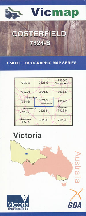
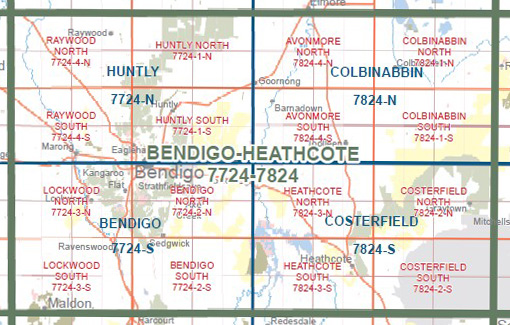
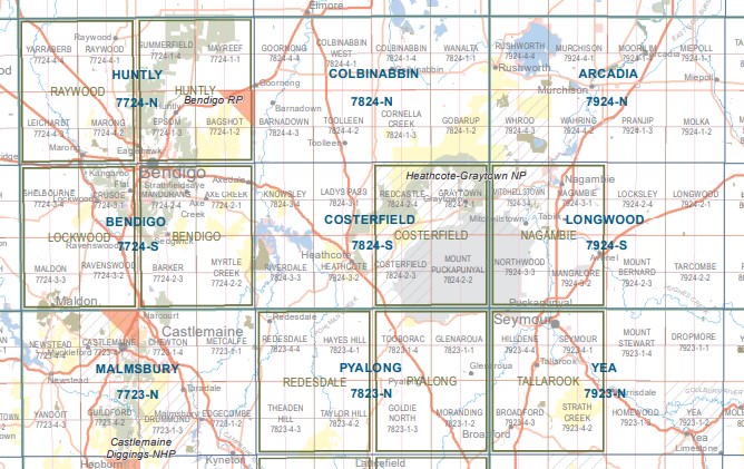
Costerfield 1-50,000 Vicmap
$12.00 – $24.00
Description:
Costerfield 1-50,000 scale Vicmap Topographical map 7824S is used for Walking, 4WD, Fishing, Camping, Motorcycle, both On and Off Road, Gold Prospecting and for those simply going for a family weekend drive.
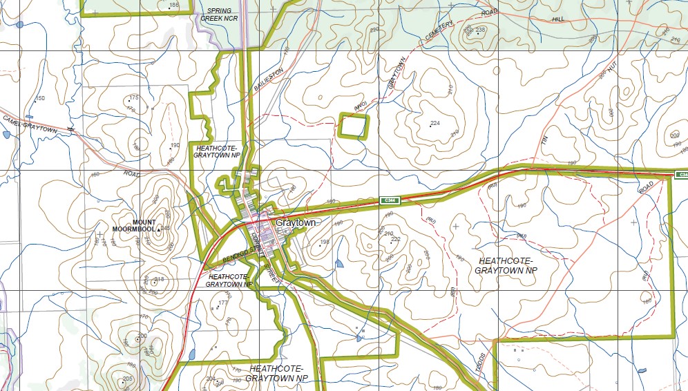
Topographical maps show not only Contours of the Terrain but Walking Tracks, Sealed and Unsealed Roads, Rivers, Creeks, Lakes, Historical Point of Interest, Old Mine Sites mbtg and National and State Park areas.
Main Features of this map include:
Replaces the Out of Print old series maps Redcastle and Graytown
Costerfield and Heathcote townships
Costerfield, part of Costerfield SF, Young Hill, McArthur Hill, Whitham Ridge, Wells Ridge, Murdoch Hill, Campbell Ridge, Twin Tree Hill, Puckapunyal Commonwealth Area, Wappentake Creek, Costerfield South, Latchford Hill, mbtg, Pearson Hill, Jackson Hill, Hughes Hill, Whitelaw Hills, Esler Hill, Snake Hill, Dellar Hill, Ives Hill, Boase Hill, R0bertson Ridge, Mace Ridge, Mount Puckapunyal, Spring Plains NCR, Mount Kappe., mbtg, Redcastle, Moormbool West, Mount Camel, Red Castle – Greytown State Forest, Heathcote – Graytown State Forest, Rushworth Forest Reference Area (no public access), Bobs Bluff, Spring Creek NCR, mbtg, Mount Moormbool, Murdoch Hill, Mine Shaft Hill, Costerfield State Forest, Dargile State Forest, William Lagoon, Puckapunyal Commonwealth Area, McArthur Hill
Heathcote, Heathcote South, Mia Mia, southern section of Lake Eppalock, Part of the Kimbolton SF, Flower Hill, Madden Reach, Escott Valley, Meadow Valley, Wild Duck Creek, One Eye State Forest, Mount Ida, southern section of the Heathcote Graytown National Park, Commisioners Flat, Argyle, YELLOW HAMMER PATS HILL, Spring Plains NCR, Caledonia Gully Reservoir, Kemp Hill, mbtg, Axedale, Knowsley, Ladys Pass, the northern section of Lake Eppalock, the Campaspe River, Lakeshore Caravan Park, Jay Point, Ja Wurong Passage, Knowsley State Forest, Part of the Crosbie NCR, Mount Ida, part of the Heathcote Graytown National Park, Silver Spoon Mine, Mount Carmel, Aboriginal Axe Quarry


