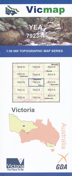
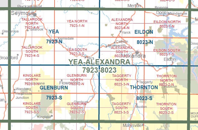
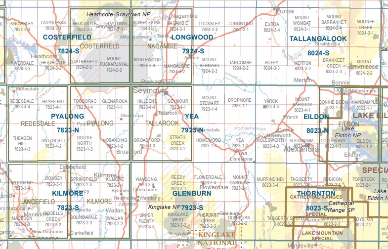
Yea 1-50,000 Vicmap
$12.00 – $24.00
Description:
Yea 1-50,000 scale Vicmap Topographical map 7923N is used for Walking, 4WD, Fishing, Camping, Motorcycle, both On and Off Road, Gold Prospecting and for those simply going for a family weekend drive.
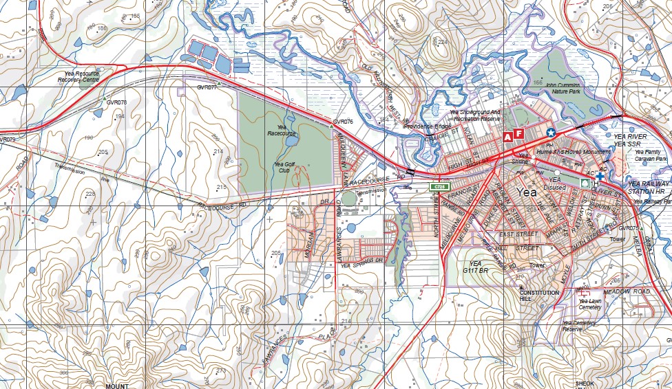
Topographical maps show not only Contours of the Terrain but Walking Tracks, Sealed and Unsealed Roads, Rivers, Creeks, Lakes, Historical Points of Interest, Old Mine Sites mbtg and National and State Park areas.
Main Features of this map includes:
Yea, Seymour, Broadford, Puckapunyal, Strath Creek, Goulburn River, Tallarook, Tallarook State Forest, Switzerland Range, Killingworth, Mount Broughton, Mount Tickatory, Mount Stewart, Strath Creek, Homewood, Mount Jimmy, Mount Hickey, Kerrisdale, Goulburn River, mbtg, Mount Eaglehawk, Cherry Tree Range, Uralba Falls, Mount Stewart, Hughes Creek, Mount Hellen, Switzerland Ranges, Mount Broughton, Home Creek Falls, Highlands, Highlands Pioneer Memorial, Mount Tickatory, Dropmore, Wattle Hill, Dunn Hill, Mafeking Rover Park, Yea, Mount Eaglehawk, Kerrisdale, Mount Sugarloaf, Raytons Bridge, MOUNT MARIANNE, Dairy Creek, Yeaburn Airfield, Ghin Ghin, HOMEWOOD NCR, Homewood, Mount Jimmy, Great Victorian Rail Trail, Mount Charlotte, Higgins Bridge, Quarry Hill, SWITZERLAND RANGE NCR, GOULBURN RIVER KILLINGWORTH RD SSR, Killingworth, Cheviot Hills, Cottons Pinch, Monmondiik Falls, Soldiers Falls, Mittagundi Falls, Limestone, CHEVIOT RAILWAY TUNNEL HR
Seymour, Tallarook, Puckupanial, Hilldene, Pulpit Rock, Breech Peak, Mount Hawdon, Trawool, Mount Chambers, Dysart Siding, mbtg, Broadford, Strath Creek, Mount Piper, DABYMINGA CREEK BR, Tyack Hill, Lone Tree Hill, Mount Hickey, parts of the Tallarook Forest, Trawool Walk In Camping Area, Goulburn River Horseshoe Lagoon


