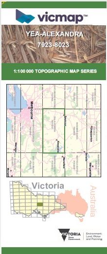
YEA ALEXANDRA 1-100,000 Vicmap 7923-8023
$14.00 – $26.00
Description:
YEA ALEXANDRA 1-100,000 Vicmap 7923-8023 NOW PRINT ON DEMAND is used for Walking, 4WD, Fishing, Camping, Motorcycle, both On and Off Road, Gold Prospecting and for those simply going for a family weekend drive.
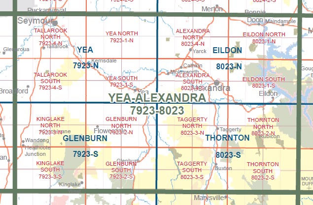
This is a new series of 1-100,000 scale maps, all of Victoria is covered by these maps.
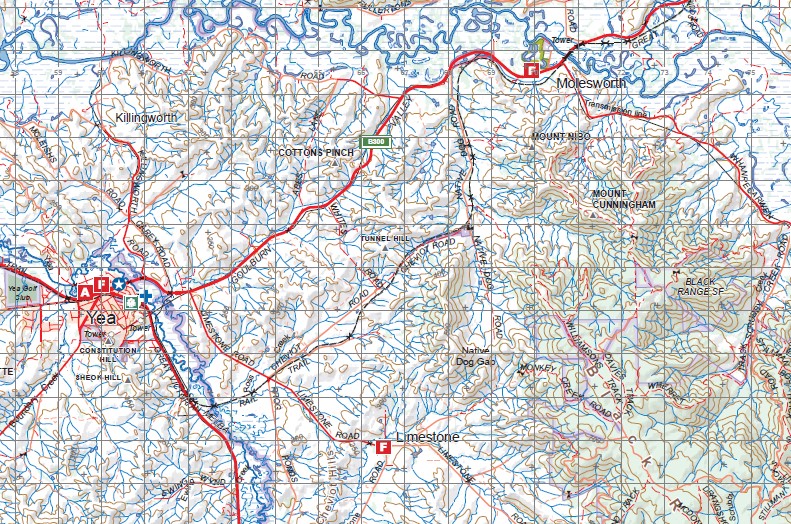
Topographical maps show not only Contours of the Terrain but Walking Tracks, Sealed and Unsealed Roads, Rivers, Creeks, Lakes, Historical Points of Interest, Old Mine Sites mbtg and National and State Park areas.
Now available printed on Waterproof Plastic Paper Folded
Main Features of this map includes:
Most of Lake Eildon
Yea, Glenburn, Thornton, Mount Disappointment, Puckapunyal, Seymour, Hilldene, Tallarook, Broadford, Reedy Creek, Wandong, Heathcte Junction, Wallan, Mount Fraser, Kinglake West, Humevale, Flowerdale, Strath Creek, Mount Marianne, Mount Sugarloaf, Kerrisdale, Trawool, Mount Helen, Mount Tickatory, Dropmore, Mount Stewart, Ghin Ghin, Mount Broughton, Killingworth, Homewood, Mount Charlotte, MOUNT BULLAMALITA, Break O Day, Mount Caroline, Mount Morton, Mount Murrindindi, Mount Despair, Mount Mitchell, Woodbourne, Devlin Bridge, Mount Dorothy, Spion Kopje, Limestone, Mount Cunninghame, Molesworth, Mount Maxwell, mbtg, RANTIN ROBIN ROCKS, Gobur, Terip Terip, Mount Budd, Mount Paradox, Meron Gap, Woodfield, Mount Paradox, Mount Prospect, Fawcett, Alexandra, Acheron, Taggerty, Cathedral Range State Park, Buxton, Mount Margaret, the edge of Marysville, Lake Mountain, Mount Bullfight, Conn Gap, Mount Torbreck, Rubicon, Dry Creek, Snobs Creek, Eildon, Karralika Heights, Mount Enterprise, Lake Eildon National Park, Bonnie Doon, Maindample, most of Lake Eildon, MESSMATE KNOB


