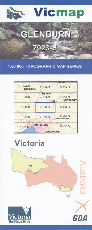
Glenburn 1-50,000 Vicmap
$12.00 – $24.00
Description:
Glenburn 1-50,000 scale Vicmap Topographical map 7923S is used for Walking, 4WD, Fishing, Camping, Motorcycle, both On and Off Road, Gold Prospecting and for those simply going for a family weekend drive.
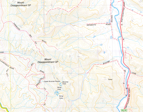
Topographical maps show not only Contours of the Terrain but Walking Tracks, Sealed and Unsealed Roads, Rivers, Creeks, Lakes, Historical Point of Interest, Old Mine Sites mbtg and National and State Park areas.
Main Features of this map include:
Glenburn, Mount Disappointment, Kinglake National Park, Wallan East, Waterford Park, Heathcote Junction, Mount Caroline, Mount Dorothy, Devlin Bridge, Parts of Toolangi State Forest, Mount Robertson State Forest, Mount Disappointment, Stoney Creek Reference Area, Mount Robertson, Sunday Creek Reservoir, Flowerdale, Junction Hill, Mount Morton, Saint Anne Hill, Flowerdale, Break O Day, Mount Robertson State Forest, Evans Bridge, Broome Falls, The 3 Sisters, Junction Hill, Snapper Black Hill, Coonans Bridge, Humpback Bridge, Chevioy Hills South, Mount Roughie, Mount Bullamalta, Mount Morton, Mount Caroline, Old Mine Hill, Mount Dorothy, Tea Tree Creek Bridge, O’Connors Falls, Turnbull Hill, Burt Hill, mbtg, Pheasant Creek, Parts of the Kinglake National Park, Flowerdale Plantation, Evans Bridge, part of Mount Robertson State Forest, Glenburn, Mount Morton, Upper Emily Falls, Mount Sam, Devlin Bridge
Heathcote Junction, Waterford Park, Walls Crossing, Bald Hills, Reedy Creek Bridge, Saint Anne Hill, Clonbinane, Sunday Creek Reservoir, Murchison Spur, Mount Disappointment State Forest, Bassetts Bridge, Tunnel Hill, Strath Creek Falls, Margaret Falls Lower and Middle, Seldom Seen, Part of Kinglake National Park, Digger Gully, mbtg, The edge of Wallan. Cleve Hill, Upper Plenty, Mount Disappiontment, part of Mount Disappointment State Forest, The Bump, Sugar Loaf Hill, Glenvale, Tooroorrong Reservoir, Part of Kinglake National Park, Kinglake West, Upper Cascades, Walaby


