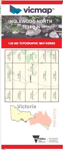
INGLEWOOD NORTH 1-25,000 Vicmap Topo Map 7624-1-N
Price range: $14.00 through $26.00
Description:
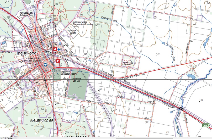
INGLEWOOD NORTH 1-25,000 Vicmap Topographic Map 76241N Now Print On Demand is used for Walking, 4WD, Fishing, Camping, Motorcycle, both On and Off Road, Gold Prospecting and for those simply going for a family weekend drive.
This is a new series of 1-25,000 scale maps, all of Victoria is now covered by these maps, including maps over the South Australian and NSW Borders.
Topographical maps show not only Contours of the Terrain but Walking Tracks, Sealed and Unsealed Roads, Rivers, Creeks, Lakes, Historical Points of Interest, Old Mine Sites, mbtg and National and State Park areas.
Main Features of this map includes:
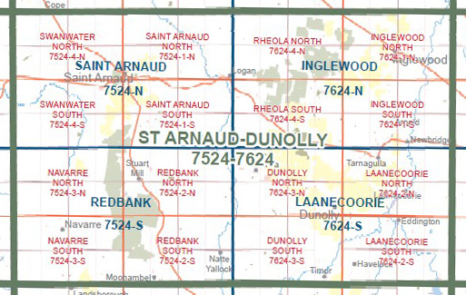
This new edition replaces the old series of the same name at the same scale and area
Inglewood, Glenalbyn, part of Inglewood State Forest, Rose Hill, Salisbury West, part of the Loddon River, Big Timber Gully, Ally Slopers Gully, Brass Button Gully, mbtg, part of Kooyoora SP, part of Glenalbyn SF, Bridgewater North, Potter Hill, part of Kingower SF, Kingower Range, Bullabul, Bridgewater on Loddon, Bridgewater Walking Track.
You may also like…
-
RHEOLA NORTH 1-25,000 Vicmap Topo Map 7624-4-N
Price range: $14.00 through $26.00Select options This product has multiple variants. The options may be chosen on the product page -
INGLEWOOD SOUTH 1-25,000 Vicmap Topo Map 7624-1-S
Price range: $14.00 through $26.00Select options This product has multiple variants. The options may be chosen on the product page -
Inglewood 1-50,000 Vicmap
Price range: $12.00 through $24.00Select options This product has multiple variants. The options may be chosen on the product page