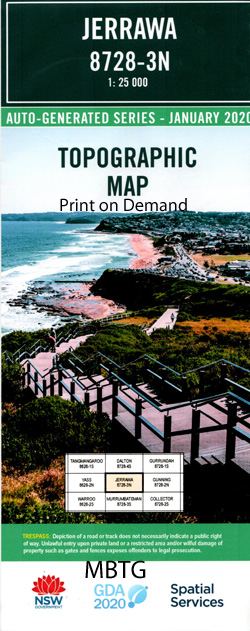
Jerrawa 1-25,000 NSW Topographic Map
$16.95 – $31.95
Description:
8728-3-N Print on Demand
Locations within this Map
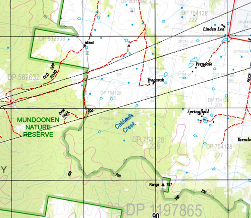
Berrebangalo Creek Bough Yard Creek Caldwells Creek Catherines Creek Chimney Creek Gap Creek Hovells Creek Howarths Crossing Jerrawa Jerrawa Railway Station Cullerin Railway Station Gap Range Gardners Creek or Chain of Pond Hovells Branch of Jerrawa Creek Lime Kilns Limestone Creek Margules Merryong Mundoonen Mount Mundoonen Mundoonen Nature Reserve Needles Oolong Oolong Railway Station Range Stoney Hole Creek Stoney-Hole or Sandy Creek Three Waterholes Creek Dixon Mount Dixon Manton Lade Vale Berrebangalo Mundoonen Range
| Name: | Jerrawa |
| Publisher: | New South Wales Government |
| Scale: | 1:25000 |
| Latitude Range: | 34° 45.0′ S – 34° 52.5′ S |
| Longitude Range: | 149° 0.0′ E – 149° 15.0′ E |
| Datum: | GDA 94 |
| Approx Print Size: | 0.56m X 1.11m |
Read More


