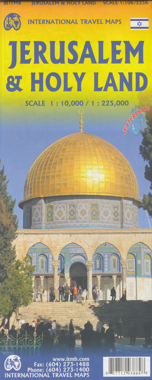
Jerusalem and the Holy Land Map ITMB
$24.95
1 in stock
Description:
Jerusalem and the Holy Land Map ITMB
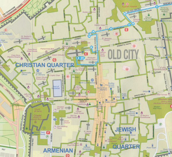
Jerusalem is one of the most important cities in the world, being the fulcrum point of several of the world s religions. This map covers the city itself, with an expanded inset of the historic walled city and an inset map showing Israel s growing rail network. We have chosen not to show the barricades dividing the city into East and West, as this is a bone of contention within Jerusalem and we do not wish our travel map to become embroiled in political controversy.
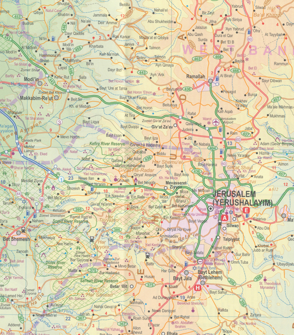
Users should take note, however, that they will encounter barricades upon occasion. For Christians, the route of the Via Delarosa, or Stations of the Cross, is shown. All churches and mosques are shown. The Temple Mount is included, although at time of writing it is reserved for Muslims only. The second side of the map concentrates on what Christian believers think of as the Holy Land. By necessity, this includes Jaffa, Tel Aviv, Acre, and Haifa, which are notable historic cities, but the focus of this map is to emphasize such points of interest as Bethlehem, the Sea of Galilee, Nazareth, Nablus, the River Jordan, and other centres of interest to pilgrims and students of history.
We have included the divisions between Israel and Palestinian West Bank and Gaza because they are there. It should be noted that the entire border area with Jordan is controlled by Israel, although it technically is within the West Bank territory.
This side of the map also includes an excellent inset map of Tel Aviv. Scale 1:10,000 / 1:225,000
- Publisher : ITMB Publishing Ltd; 4th edition (13 March 2019)
- Language : English
- Map : 1 pages
- ISBN-10 : 1771293888
- ISBN-13 : 9781771293884


