Kaputar 1-25,000 NSW Topographic Map
Price range: $16.95 through $31.95
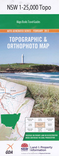
Description:
8937-3-N Print on Demand
Bore Hill The Valley Mossvale North Lyn Dawsons Springs Wongala Orange Grove Mountain View Ningadoo Carinya Mount Abbotsmith Bark Hut Bark Hut Campsite Basin Creek Big Deep Creek Black Mountain Creek Brushy Mountain Bullawa Creek Camels Hump Camels Hump Mountain Mount Capel Coolah Creek Corrunbral Borawah Coryah Gap Mount Coryah Dawsons Spring Deep Creek Deriah Deriah Mountain Deriah State Forest Echo Gully Eckford Lookout Euglah Cave Euglah Rock Euglah Spring Eulah Eulah Creek Governor Mountain Jokers Spring Kaputar Mount Kaputar Kaputar Rocks Kaputar Rocks Lookout castle Rock Echo Gorge Mount Forbes Goors Creek The Governor Mount Kapular Mount Kapunda Lairds Lookout Lindesay Rocks Mount Lindsay Little Deep Creek Middle Creek Mount Mitchell Ningadhun Mount Ningadhun Ningadoon Oakey Creek Oaky Creek The Peak The Pepper Pot Rangers Lookout Round Hill Rusden Sinclair Peak Teatree Gully Tea Tree Gully West Kaputar Rock Lookout Woods Creek Yalludunida Mount Yulludunida Yulludunida Yulludunida Crater Bundabulla Cliffs Bundabulla Rocks Doug Sky Lookout Mount Dowe Nandewar Range
| Name: | Kaputar |
| Publisher: | New South Wales Government |
| Scale: | 1:25000 |
| Latitude Range: | 30° 15.0′ S – 30° 22.5′ S |
| Longitude Range: | 150° 0.0′ E – 150° 15.0′ E |
| Datum: | GDA 94 |
| Approx Print Size: | 0.56m X 1.11m |