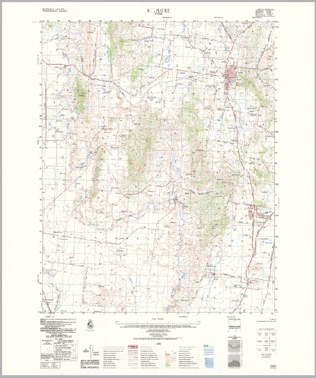
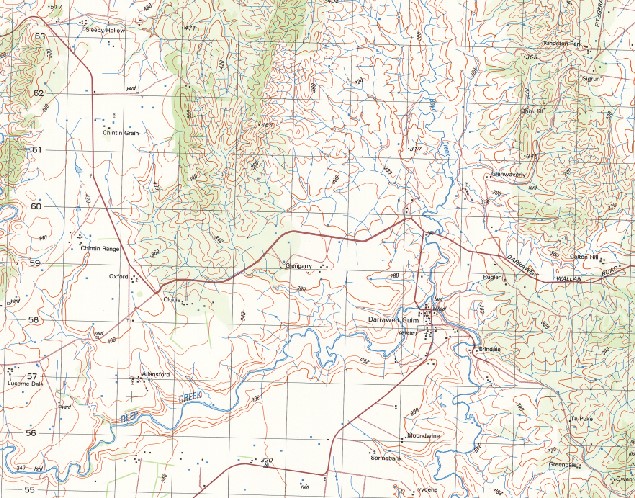
Kilmore 1-50000 Topographic Map 7823-2 VICTORIA 1979 Edition
$14.95
Description:
Kilmore 1-50,000 Topographic Map 78232 VICTORIA 1979 Edition Print on Demand
Locations within this Map
Willow Mavin The Pines Pintadeen Debhel Park Moira Lauriston Overdale Flowerdale Mount Vernon Helton Vale Bank Glen Monynut Chintin Range Glenwaverley Ruglen Calton Hill Mittagong Lucerne Dale Allansford Moondwine Bolinda Downs Condah Park Greendale Macsfield Park Warrawee Penmore Deloraine Hazelwynde Fauna Valley Amesbury House Alma Vale Glen Park Fentondale Fenton Hill Cooinda The Gums Hillside Victoria Kilmore Wallan Barasse Hill Beveridge Beveridge Primary School Boyds Creek Broadhurst Creek Brocks Hill Bylands Bylands Primary School Caddens Corner Chintin Clarkefield Primary School Dalys Bridge Darraweit Guim Darraweit Guim Primary School Doggetts Bridge Five Mile Creek Forbes Forbes Bridge Gallaghers Ford Green Hill Havelock Kilmore Creek Kilmore East Kilmore Hospital Kilmore Magistrates Court Kilmore Police Station Kilmore Primary School Konagaderra Creek Leslie Lintons Creek Monegeetta Mount Fraser No. 3 Creek Northern Highway Pretty Sally Prices Creek Sheehans Crossing Slab Hut Creek Springfield Terveta Scout Camp View Hill Wallan Police Station Wallan Primary School Willowmavin Willowmavin Primary School Lance Field North Monegeeta Station Monegeetta North Brock Hill Deep Creek Darraweith Guim Monegeeta Monegeetta Station Bolinda Beveridge Station Clarkefield Clarkfield Station
| Name: | Kilmore |
| Publisher: | Geoscience Australia (Australian Government) |
| Scale: | 1:50000 |
| Latitude Range: | 37° 15.0′ S – 37° 30.0′ S |
| Longitude Range: | 144° 45.0′ E – 145° 0.0′ E |
| Projection / Datum: | Universal Transverse Mercator, GDA94 or WGS84 |
| Approx Print Size: | 0.56m X 0.56m |
| Publication Date: | 1-Jun-79 |


