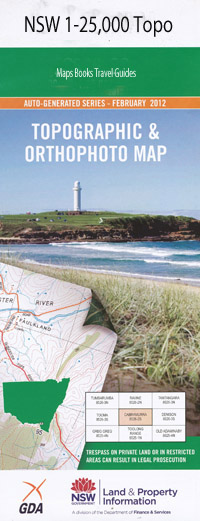
Lake Bathurst 1-25,000 NSW Topographic Map
$16.95 – $31.95
Description:
8827-4-N Print on Demand
Locations within this Map
Allianoyonyiga Allianoyonyiga Creek Lake Bathurst Bongaralaby Creek Chain of Ponds Creek Cooper Crisps Creek Groses Hill Coopers Creek Lake Bathurst Public School Lake Bathurst Railway Station Limestone Creek The Morass Mulwaree Percy Sally Tarago Tarago Public School Tarago Railway Station Taylors Creek Werriwa Willeroo Creek Woodlawn Woodlawn Mines Woolowolar Willeroo Woodlawn Mine
| Name: | Lake Bathurst |
| Publisher: | New South Wales Government |
| Scale: | 1:25000 |
| Latitude Range: | 35° 0.0′ S – 35° 7.5′ S |
| Longitude Range: | 149° 30.0′ E – 149° 45.0′ E |
| Datum: | GDA 94 |
| Approx Print Size: | 0.56m X 1.11m |
Read More

