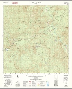
Lappa Junction 1-50000 Topographic Map 7863-2 QLD
$14.95
Description:
Print on Demand
Locations within this Map
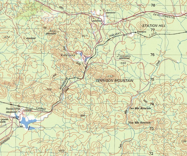
Boxwood Adder Creek Allsorts Creek Back Creek Bamford Creek Bamford Hill Billing Knob Bismuth Creek Mount Black Blue Mountain Bluewater Creek Bradley Creek Cape Horn Cardwell Creek Mount Cottell Deep Creek Eight Mile Mountain Emerald Hill Halpin Creek Hermit Hill Hopscotch Creek Indicator Hill Junction Creek Koorboora Laheys Creek Lappa Lappa Creek Lode Creek Muddy Creek Nuggety Creek Nursery Creek Oaky Creek Petford Mount Phillips Ricket Creek Sandy Creek Sloper Creek Spinifex Creek Three Mile Creek Two Mile Creek Mount Wade Batcha Sunnymount Dover Castle Mines Banford Hill Mine Bamford Lappa Junction Pioneer
| Name: | Lappa Junction |
| Publisher: | Geoscience Australia (Australian Government) |
| Scale: | 1:50000 |
| Latitude Range: | 17° 15.0′ S – 17° 30.0′ S |
| Longitude Range: | 144° 45.0′ E – 145° 0.0′ E |
| Projection / Datum: | Universal Transverse Mercator, GDA94 or WGS84 |
| Approx Print Size: | 0.56m X 0.56m |
| Publication Date: | 1-Jun-81 |
Read More