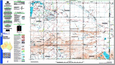
Lucas 1-250,000 Topographic Map
$15.95 – $30.95
Description:
Print on Demand
Locations within this Map
Wirrimanu Balgo Ada Spring Aitchison Creek Bababaru Rockhole Balgo Hill Balgo Hill Aerodrome Balgo Mission Bishops Dell Bloodwood Bore Bungabiddy Well Carrols Bore Carrs Bore Comet Bore Condren Pinnacles Djaluwon Well Dooma Dora Durbai Creek Emily Springs Florence Spring Goondy Goondy Waterhole Gordon Hills Gumbo Point Gunawarrawarra Rockhole Jones Soak Kearney Range Kearney Range Community Kersh Spring Killi Killi Community Lake Dennis Lake Jeavons Lake Lucas Lake Maddox Len Bore Lewis Range Mcguire Bore Mcguire Gap Millicent Mere Mount Hughes Mount Wilson Mulan Community Namalook Rockhole Narelli Rockhole Ngulyupi Community Nora Range Old Station Mill Pallottine Headland Phillipson Range Point Alphonse Point Nelligan Pownall Creek Pussycat Bore Robbys Bore Salt Pan Creek Schultz Cairn Starvation Plain Stretch Range Tanami Tax Bore Thomas Peak Tomahawk Hill Trap Hills Walakarri Hills Wilson Range Wirrimanu Community Yagga Yagga Community Yam Hill Balgo Gregory Salt Lake Salt Sea Musgrave Ranges Mount Elphinstone Trap Hill
| Name: | Lucas |
| Publisher: | Geoscience Australia (Australian Government) |
| Scale: | 1:250000 |
| Latitude Range: | 20° 0.0′ S – 21° 0.0′ S |
| Longitude Range: | 127° 30.0′ E – 129° 0.0′ E |
| Projection / Datum: | Universal Transverse Mercator, GDA94 |
| Approx Print Size: | 0.44m X 0.67m |
| Publication Date: | 1-Jun-04 |


