


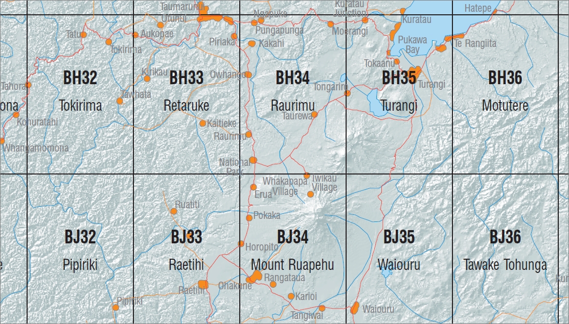
Mount Ruapehu 1-50,000 Topo Map BJ34 NZ
Price range: $15.00 through $27.00
Description:
Mount Ruapehu 1-50,000 Topo Map BJ34 New Zealand
Main Features
Tongario Northern & Southern Circuit Great Walk Maps
New Zealand Topographic Map Sheet BH34 “Raurimu”
New Zealand Topographic Map Sheet BH35 “Turangi”
New Zealand Topographic Map Sheet BJ34 “Mount Ruapehu”
New Zealand Topographic Map Sheet BJ35 “Waioru”
This is a set of four Land Information New Zealand 1:50000 scale topographic maps that covers the entire Tongario National Park. This includes both the Northern & Southern Circuit walks. The Northern Circuit Walk is a DOC great walk.
Marton Sash & Door Tramline Cycleway, Waikune, Hauhungatahi, Mangahuia Track, Whakapapaiti Valley Track, Whakapapaiti Hut, Round the Mountain Track, Silica Rapids Upper Track, Panaruku Falls, Whakapapa Village, Lower Silica Rapids Track, Taranaki Falls Track, Chateau Tongariro, Iwikau Village, Tukino Village, Whakapapa Skifield, Whangaehu Hut, Tukino Skifield, Mt Ruapehu, Wahianoa Glacier, Paretetaitonga, Obelisk marking final spike in railway 1908, Pokaka, Mangaturuturu, Horopito Track, Mangaturuturu Hut, Blyth Hut Track, Blyth Hut, Rangipo Hut, Lupton Hut, Old Blyth Track, Mangawhero Forest Walk, Mangawhero Campsite, Sigley Falls, Karioi Forest, Otahatekapua, Rotokura Ecological Reserve, Middle Track, Rangataua Reserve, Mangaehuehu Reserve, Ohakune, Rangatauanui Hill, Rangakauika, Tangiwai and Kohaonui.
ISBN 9414264210340
Size Flat 695mm x 610mm
Size Folded 205mm x 175
You may also like…
-
Turangi 1-50,000 Topo Map BH35 NZ
Price range: $15.00 through $27.00Select options This product has multiple variants. The options may be chosen on the product page -
Raurimu 1-50,000 Topo Map BH34 NZ
Price range: $15.00 through $27.00Select options This product has multiple variants. The options may be chosen on the product page -
Mount Ruapehu 1-50,000 Topo Map BJ34 NZ
Price range: $15.00 through $27.00Select options This product has multiple variants. The options may be chosen on the product page