
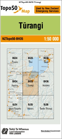

Turangi 1-50,000 Topo Map BH35 NZ
Price range: $15.00 through $27.00
Description:
Turangi 1-50,000 Topo Map BH35 New Zealand
Tongario Northern & Southern Circuit Great Walk Maps
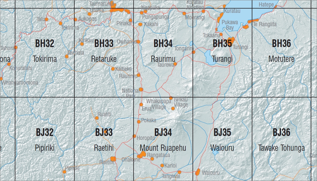
New Zealand Topographic Map Sheet BH34 “Raurimu”
New Zealand Topographic Map Sheet BH35 “Turangi”
New Zealand Topographic Map Sheet BJ34 “Mount Ruapehu”
New Zealand Topographic Map Sheet BJ35 “Waioru”
This is a set of four Land Information New Zealand 1:50000 scale topographic maps that covers the entire Tongario National Park. This includes both the Northern & Southern Circuit walks. The Northern Circuit Walk is a DOC great walk.
Main Features
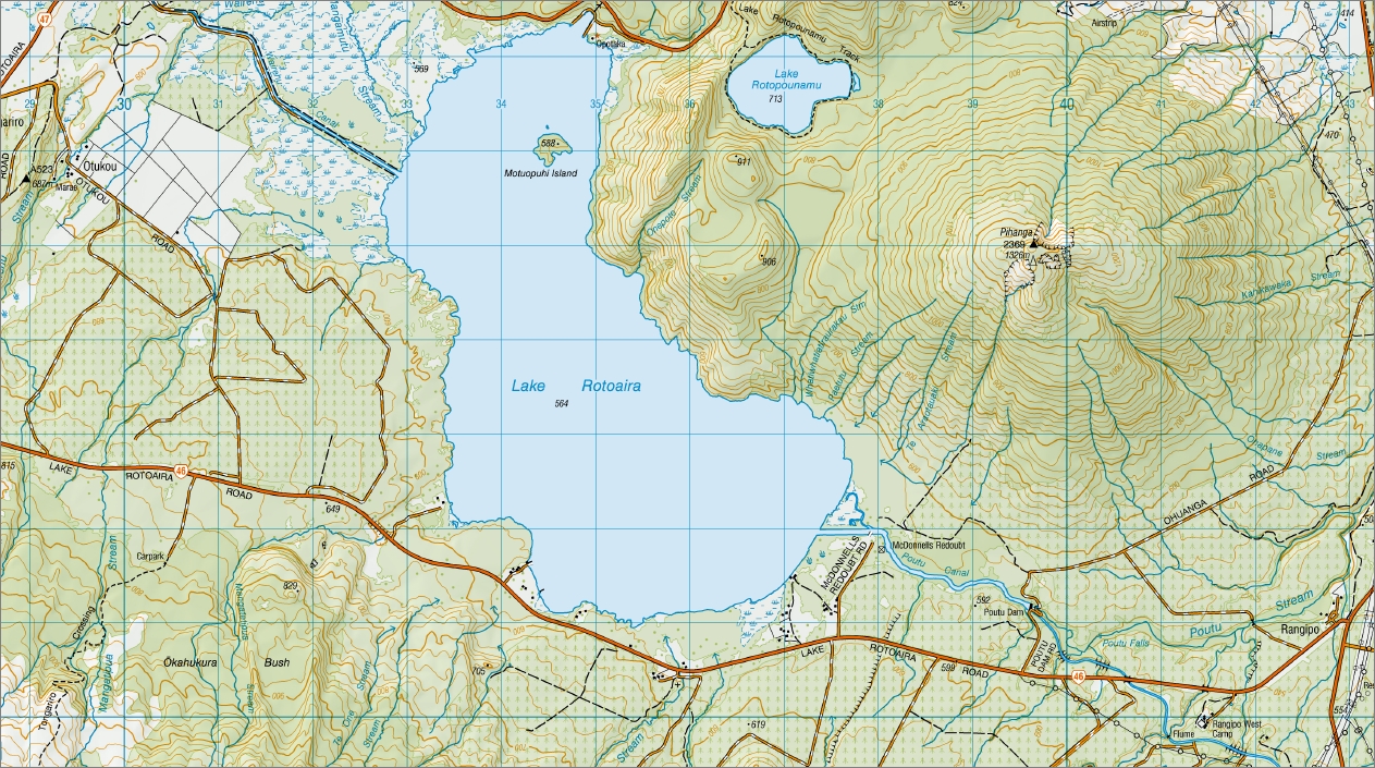
Hirata, Kuratau Junction, Kuratau River, Pukekaikiore, Rangitukua Scenic Reserve, Te Rai Point, Ohuihiawai Point, Werohanga Point, Lake Taupo, Tauranga Taupo River, Manowharangi Bay, Orutua Track, Tauranga Taupo River Anglers Track, Motuoapa, Te Kapua Island, Maketu Island, Jones Island, Pukawa Loop Track, Pukawa Bay, Kuharua, Mangahouhou, Kakaramea, Waihi Village, Hipaua Thermal Area, Waihi Falls, Tokaanu, Tokaanu Tailrace Canal, Tokaanu Thermal Walk, Tongariro River, Tokaanu Recreation Reserve, Waimarino Anglers Access Track, Hautu Village, Turangi, Tokannu Tunnel, Lake Otamangakau, Otukou, Motuopuhi Island, Opotaka, Lake Rotopounamu, Lake Rotopounamu Track, Papapohatu, Rangipo, Lake Rotoaira, Tongariro Crossing, Okahukura Bush, Ketetahi Hot Springs, Rangipo West Camp, Kopuawhio, Umukarikari, Waiokoko Campsite, Kaimanawa Road Campsite, Rotopaunga, Tree Trunk Gorge Track, Urchin Campsite, Pillars of Hercules, Umukarikari Range, Thunderbolt Track, Waihohonu Oturere Track and Oturere Hut.
ISBN 9414264208354
Size Flat 695mm x 610mm
Size Folded 205mm x 175
You may also like…
-
Waiouru 1-50,000 Topo Map BJ35 NZ
Price range: $15.00 through $27.00Select options This product has multiple variants. The options may be chosen on the product page -
Raurimu 1-50,000 Topo Map BH34 NZ
Price range: $15.00 through $27.00Select options This product has multiple variants. The options may be chosen on the product page -
Mount Ruapehu 1-50,000 Topo Map BJ34 NZ
Price range: $15.00 through $27.00Select options This product has multiple variants. The options may be chosen on the product page