
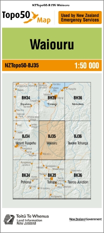
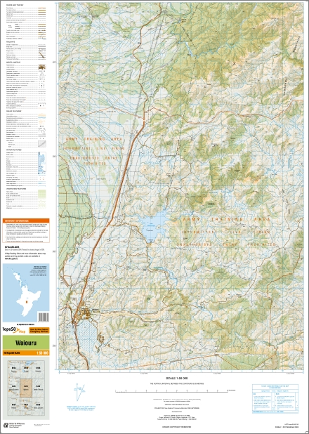
Waiouru 1-50,000 Topo Map BJ35 NZ
Price range: $15.00 through $27.00
Description:
Waiouru 1-50,000 Topo Map BJ35 New Zealand
Tongario Northern & Southern Circuit Great Walk Maps
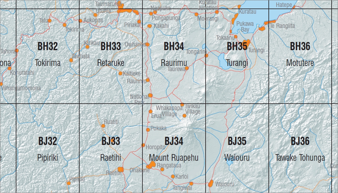
New Zealand Topographic Map Sheet BH34 “Raurimu”
New Zealand Topographic Map Sheet BH35 “Turangi”
New Zealand Topographic Map Sheet BJ34 “Mount Ruapehu”
New Zealand Topographic Map Sheet BJ35 “Waioru”
This is a set of four Land Information New Zealand 1:50000 scale topographic maps that covers the entire Tongario National Park. This includes both the Northern & Southern Circuit walks. The Northern Circuit Walk is a DOC great walk.
Main Features
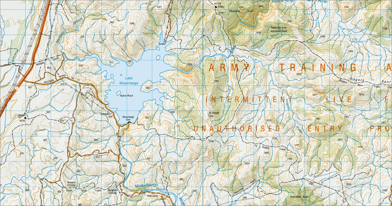
Waiouru, Waihohonu Track, Waihohonu Hut & Campsite, Waihonhu Historic Hut, Waihonhu Oturere Track, Pangarara Switching Station, Rangipo Dam, Moawhango Tongariro Tunnel, Headrace Tunnel, Karikaringa, Kaimanawa Mountains, Waipakihi River, Mangatoetoeiti, Ohinepango Springs, Round the Mountain Track, Upper Waikato Stream, Waipahihi, Southern Access Corridor Route, Ngawhareangarua, Te Onetapu, Parkinson Bush, Manukaiapu, Te Arakarikari Bush, Mt Azim Gorge, Karioi Forest, Waihianoa Aqueduct, Mangaio Tunnel, Lake Moawhango, Rogers Spur Track, Three Kings Track, Te Rotete Track, Moawhango Dam, Helwan Camp, Abbassia Camp, Cade Track, Ronayne Track, Cook Tank Track, Brougham Crossing, Atawhitiki Track, Westlawn Historic Hut, Auahitotara Kanga, Ngamatea Swamp, Hautapurua, Tarn Track, includes Army training area intermittent live firing, unauthorised entry prohibited.
ISBN 9414264210357
Size Flat 695mm x 610mm
Size Folded 205mm x 175
You may also like…
-
Mount Ruapehu 1-50,000 Topo Map BJ34 NZ
Price range: $15.00 through $27.00Select options This product has multiple variants. The options may be chosen on the product page -
Turangi 1-50,000 Topo Map BH35 NZ
Price range: $15.00 through $27.00Select options This product has multiple variants. The options may be chosen on the product page -
Raurimu 1-50,000 Topo Map BH34 NZ
Price range: $15.00 through $27.00Select options This product has multiple variants. The options may be chosen on the product page