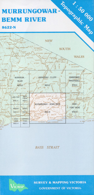
Murrungowar Bemm River 1-50,000 Vicmap Topographic Map Old Series
$11.00
Description:
Still available but Replaced by Part of Club Terrace and Bemm 1-50,000’s.
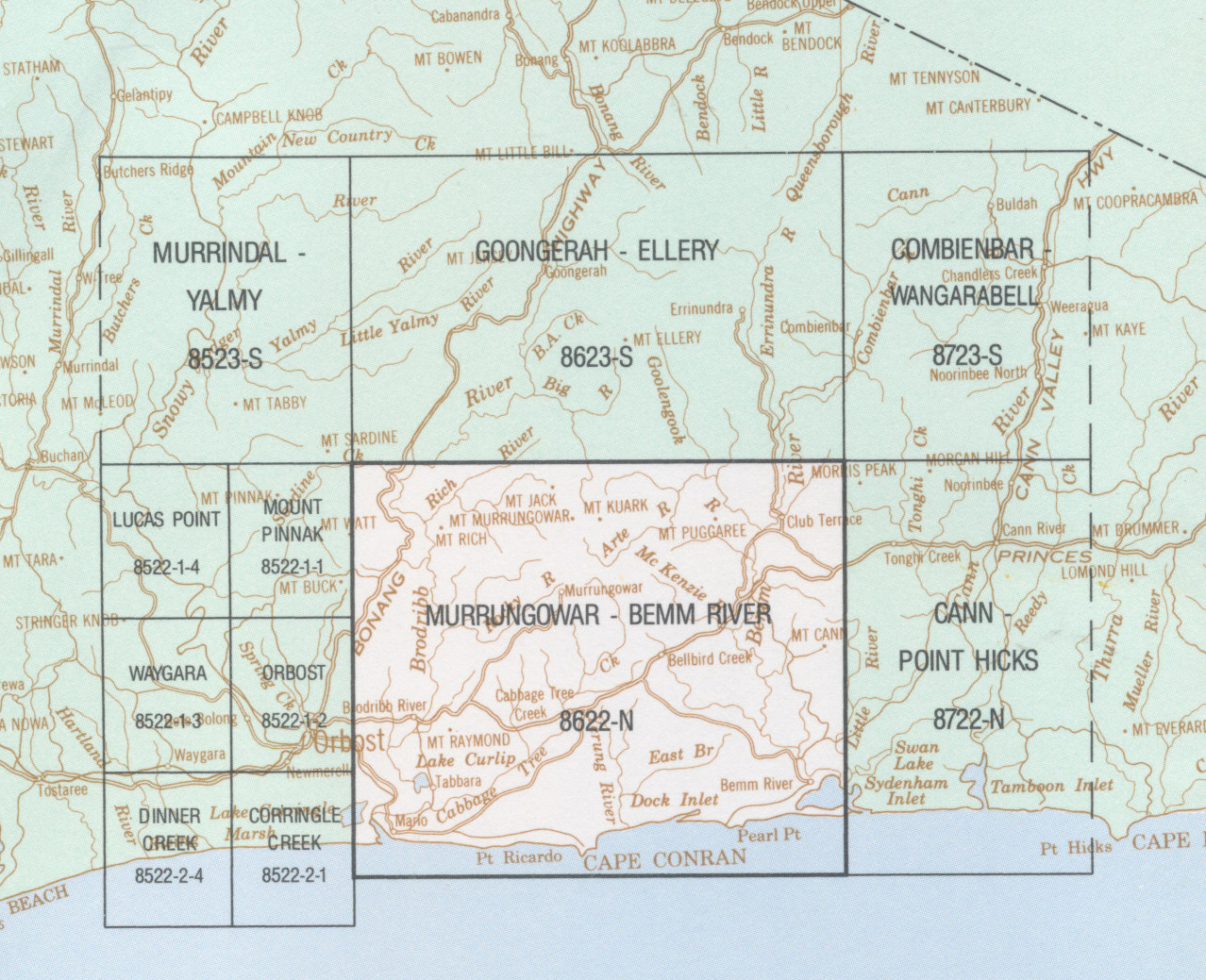
It is still the best map for both the Murrungowar Bemm River Cann River Point Hicks area of Croajingalong National Park and inland through this wonderful part of Victoria.
Main Features:-
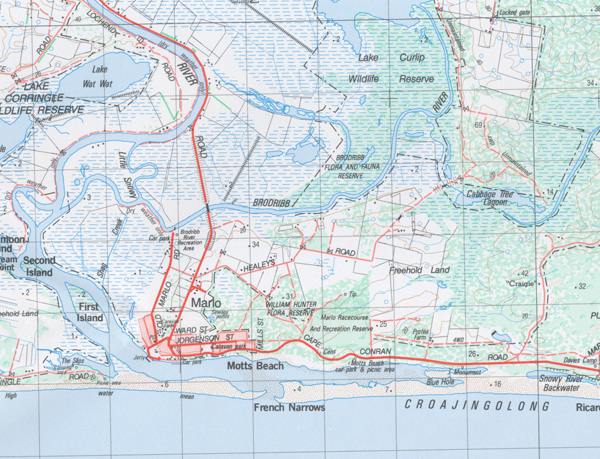
Marlo, Snowy River mouth, Bemm River, Mount Rich, Mount Raymond, Murrungowar State Forest, Mount Murrungowar, Mount Tanglefoot, Mount Kuark, Mount Puggaree, Cabbage Tree Creek, Cape Conran, Pearl Point, Yeerung Gorge, Bellbird Creek and Pub, Clun Terrace, Lind National Park, Mount Cann, Sydenham Inlet
Read More


