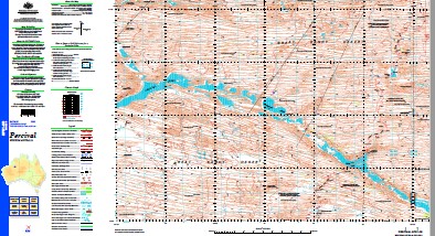
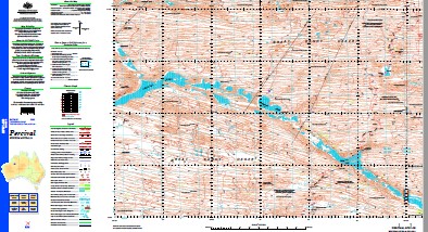
Percival 1-250,000 Topographic Map
$15.95 – $30.95
Description:
Print on Demand
Part of the Canning Stock Route Wiluna to HallsCreek
Locations within this Map
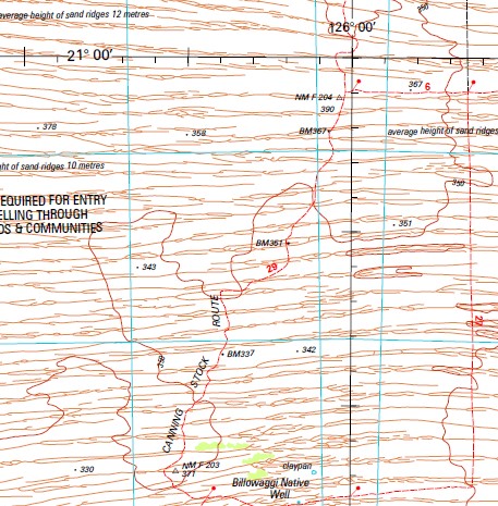
Billowaggi Native Well Gibson Desert North Guli Lake Guli Native Well Gunowarba Native Well Kumba Rockhole Murguga Well Shoesmith Cliffs Thompson Hills Tiru Well Tobin Lake Tobins Grave Waddawalla Well Wardabunni Rockhole Warrabuda Native Well Canning Basin Percival Lakes Great Sandy Desert Gunowarba Well Waddawalla Murgugu
| Name: | Percival |
| Publisher: | Geoscience Australia (Australian Government) |
| Scale: | 1:250000 |
| Latitude Range: | 21° 0.0′ S – 22° 0.0′ S |
| Longitude Range: | 124° 30.0′ E – 126° 0.0′ E |
| Projection / Datum: | Universal Transverse Mercator, GDA94 |
| Approx Print Size: | 0.44m X 0.67m |
| Publication Date: | 1-Jun-03 |
Read More


