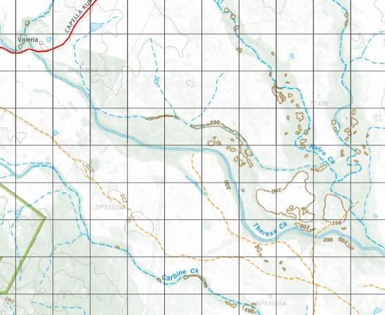
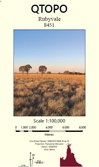
Rubyvale 1-100,000 Topographic Map
$15.95 – $30.95
Description:
Locations within this Map
Crystal Creek Reklaw Park Ryden Poinsetta Fork Lagoons Whitdale Mount Leura Keilambete Burn Meadows Spring Creek Subura Nardoo Marylands Penninsular Mayden Parke Prairie Floradale Eton Vale Ethel Glen Makonda Vanibee Malthoid Annmore Forest Home Kanowna Valeria Florence Vale Carbine Park Diggings Nut Holm Mount Mica Number Nine Pine Creek Rubyvale Sapphire Abor Creek Abor Water Facility Anakie Water Facility Argyll Creek Bald Hills Mount Ball Black Mountain Box Creek Bull Gully Mount Bullock Burn Capella Carbine Carney Creek Cattle Creek Central Creek Centre Creek Clarkes Creek Double Point Mount Dumb Bell Forest Creek Gardner Granite Waterhole Mount Hammond Kettle Khosh Bulduk La Poule Langton Edge Little Abor Creek Llandillo May Creek Mount Misery Mount Ball Gully Pigeon Creek Pigeon Peak Mount Pleasant Policeman Creek Retro Retro Creek Reward Waterhole Ruby Creek Sandy Creek Serpentine Creek Sheep Station Creek Slateford Stevenson Teatree Creek The Bullock Holes The Washpool Waterhole Tomahawk Creek Washpool Waterhole Mount Leura Conservation Park Argyll Carbine Creek Hibernia Theresa Creek Mayden Parks Capella Creek Ilandillo Valerie
| Name: | 8451 |
| Publisher: | Queensland Government |
| Scale: | 1:100000 |
| Latitude Range: | 23° 00.0′ S – 23° 30.0′ S |
| Longitude Range: | 147° 30.0′ E – 148° 0.0′ E |
| Projection / Datum: | Universal Transverse Mercator, GDA 94 |
| Approx Print Size: | 0.56m X 0.56m |


