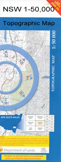
Texas 1-50,000 NSW Topographic Map
$16.95 – $31.95
Description:
Texas 9140S 1-50,000 scale NSW Topographical map is used for Walking, 4WD, Fishing, Camping, Motorcycle, both On and Off Road, Gold Prospecting and for those simply going for a family weekend drive.
Topographical maps show not only Contours of the Terrain but also Walking Tracks, Sealed and Unsealed Roads, Rivers, Creeks, Lakes, Historical Point of Interest, Old Mine Sites and National and State Park areas.
 We can Now LAMINATE and fold your map for $12.00. Just click on the image and add to the Trolley
NOW AVAILABLE PRINT ON DEMAND
Locations within this Map
Lochiel Riverview Pioneer Farm Pipersleigh Avondale Orana Koolgunyah Cluden Oakleigh Lyndale Runnymede Oakpark Wilga Park Milnedah Tooliambi Lisavale Bundanoon Redgate Callemondah Tarwoona Ramley Arcot Pine Vale Rainbow Willow Wood Clearview Gibralta Stomer Glenlyon Ardenlea Mascotte Woodbine Glengunyah Rosedale Black Springs Romani Brockhampton Barelli Riverbend Mia Mia Corner View Silver Spur Twin Hills Linton Boondah Rosehill Calm Downs Cloverdale Dorrington Gunyan Raleigh Benwerrin Wilgervale Russenden Larnock Clayton Craigie Eversley Kurraba Birrinbah Gum Camp Emu Plains Emu Park Texas Atholwood Big Hill Creek The Blacks Rock Bonshaw Bonshaw Weir Boxwell Island Camp Creek Ellis Goonian Green Hill Creek Gum Camp Gully Hetherington Horse Creek Horse Gully East The Island Lickinghole Creek Lickinghole Creek East Meriti Oaky Creek Oaky Creek West Rush Gully Sally Gully Sally or Sharps Creek Sandy Creek Sharps Creek Sharps Gully Smithfield Crossing Tindall Gully Waddy Mandoe Crossing Watts Gully Dinner Corner Creek Dumaresq River Twin Rivers Horse Gully Alpin Creek Apple Tree Creek Back Creek North Branch Bear Creek Blackfellow Creek Branch Creek Bull Creek Claremont Clay Waterhole Creek Clive Coxs Sugar Loaf Dingo Creek Dry Creek Fish Hole Mountain Lake Glenlyon Gum Island Mount Gunyan Little Plain Creek Little Plains Creek Middle Creek Mundoey Reedy Creek Rocky Creek Smithlea Spring Creek Stockyard Creek Tea Tree Creek Tea-Tree Creek Texas Mount The Red Gate Waddy Mundoey Creek Waddy Mundoey Crossing Warwick Hill Glenlyon Dam Smithfield Mundoey Station Browns Creek Coxs Sugarloaf Silverspur Pike Creek Reservoir
| Name: | Texas |
| Publisher: | New South Wales Government |
| Scale: | 1:50000 |
| Latitude Range: | 28° 45.0′ S – 29° 0.0′ S |
| Longitude Range: | 151° 0.0′ E – 151° 30.0′ E |
| Datum: | GDA 94 |

