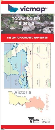
TOORA SOUTH 1-25,000 Vicmap Topo Map 8120-1-S
Price range: $14.00 through $26.00
Description:
TOORA SOUTH 1-25,000 Vicmap Topographic Map 81201S NOW PRINT ON DEMAND is used for Walking, 4WD, Fishing, Camping, Motorcycle, both On and Off Road, Gold Prospecting and for those simply going for a family weekend drive.
This is a new series of 1-25,000 scale maps, all sections of Victoria are covered by these maps.
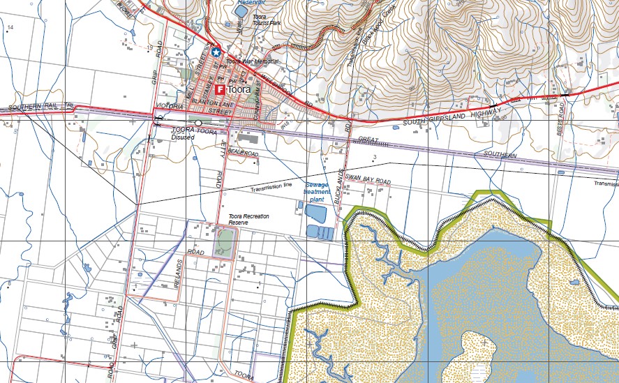
Topographical maps show not only Contours of the Terrain but Walking Tracks, Sealed and Unsealed Roads, Rivers, Creeks, Lakes, Historical Points of Interest, Old Mine Sites mbtg and National and State Park areas.
Main Features of this map includes:
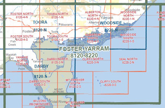
Covers the old series 1-25,000 Vicmaps Toora and Welshpool
Great Southern Rail Trail and half of Snake Island
Toora, Welshpool, Cypress Grove, Lay Hill, Bennison, Port Franklin, Foster Beach, CORNER INLET MCP, PORT FRANKLIN PORT WELSHPOOL COAST RESERVE, Franklin River Reserve, AGNES FALLS, SILCOCK Hill, Toora Beach, Possum Island North and South, Canoe Point, Barry Point, Barry Beach, Agnes River Rest Stop, Agnes, Hazel Park, Granite Bar, Little Snake Island, NOORAMUNGA MCP, Swashway Jetty Camping Area, Hedley
You may also like…
-
South Gippsland Wilsons Promontory Map Rooftop
Price range: $11.95 through $25.00Select options This product has multiple variants. The options may be chosen on the product page -
TOORA NORTH 1-25,000 Vicmap Topo Map 8120-1-N
Price range: $14.00 through $26.00Select options This product has multiple variants. The options may be chosen on the product page -
Wilsons Promontory Map Spatial Vision
Price range: $19.95 through $28.95Select options This product has multiple variants. The options may be chosen on the product page -
Wilsons Promontory Special Vicmap 1-50,000 Topo
Price range: $12.00 through $24.00Select options This product has multiple variants. The options may be chosen on the product page -
Toora 1-50,000 Vicmap
Price range: $12.00 through $24.00Select options This product has multiple variants. The options may be chosen on the product page