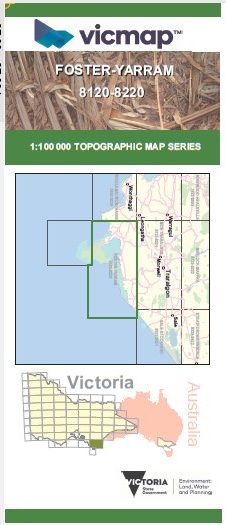
FOSTER YARRAM 1-100,000 Vicmap 8120-8220
$14.00
Description:
FOSTER YARRAM 1-100,000 Vicmap 8120-8220 NOW PRINT ON DEMAND is used for Walking, 4WD, Fishing, Camping, Motorcycle, both On and Off Road, Gold Prospecting and for those simply going for a family weekend drive.
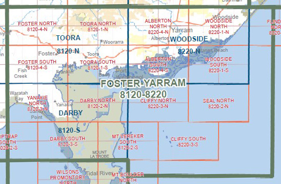
This is a new series of 1-100,000 scale maps, all of Victoria is covered by these maps.
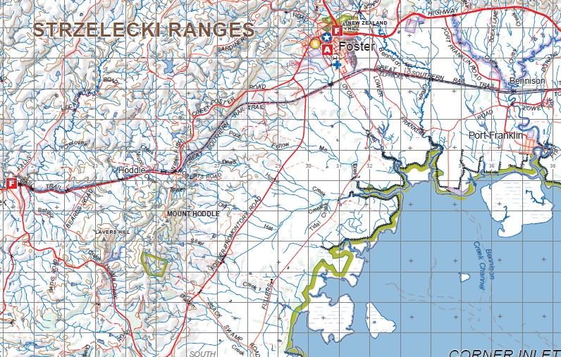
Topographical maps show not only Contours of the Terrain but Walking Tracks, Sealed and Unsealed Roads, Rivers, Creeks, Lakes, Historical Points of Interest, Old Mine Sites and National and State Park areas.
Main Features of this map includes:
The Top part of Wilsons Prom
Foster, Yarram, Nareena East , Dumbalk, Mt Fatiguem Carmichael, Milford, Boolarong, Woorarra West, Roughies Raveen, Toora North, Binginwarri, Staceys Bridge, Tooloonook, Woranga, Woodside, Woodside East, McLoughlins
Beach, St Margaret Island, Alberton, Binginwarri, Woorarra East, Hazel Park, Foster North, Hoddle Range, Fish Creek North, Stony Creek, STRZELECKI RANGES, Port Franklin, Bennison, Toora, Port Welshpool, Welshpool, Hedley, Port Albert, Langsborough, Robertsons Beach, Tarraville, GELLIONDALE SF, Manns Beach, NOORAMUNGA MARINE & COASTAL PARK, Barry Beach, CORNER INLET MARINE & COASTAL PARK, MOUNT HODDLE, Fish Creek, Waratah North, Hoodle, Waratah Bay, Sandy Point, Seal Islands


