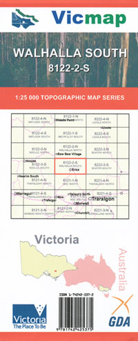
WALHALLA SOUTH 1-25,000 Vicmap Topographic Map 8122-2-S
$12.00 – $24.00
Description:
WALHALLA SOUTH 1-25,000 Vicmap Topographic Map 8122-2-S is used for Walking, 4WD, Fishing, Camping, Motorcycle, both On and Off Road, Gold Prospecting and for those simply going for a family weekend drive.
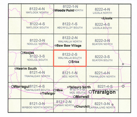
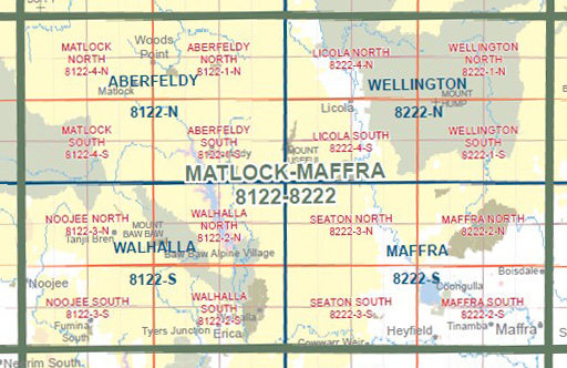
This is a new series of 1-25,000 scale maps, all sections of Victoria are covered by these maps.
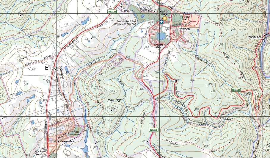
Topographical maps show not only Contours of the Terrain but Walking Tracks, Sealed and Unsealed Roads, Rivers, Creeks, Lakes, Historical Points of Interest, Old Mine Sites mbtg and National and State Park areas.
Main Features of this map includes:
Covers the old series 1-25,000 Vicmaps Tyers Junction and the Walhalla 25 which is out of print
Walhalla, Erica, Rawson, Happy Go Lucky, Thompson and Aberfeldy Rivers, Tyers Junction, Parts of Moondara State Park, Point Champion and Mushroom Rocks, Numerous Walking Tracks, mbtg, Palmer, Moondarra State Park, Telbit Crossing, Caringal, THE RIGHT EYE, THE LEFT EYE, Buckle Spur, Talbot Hut Ruins Camping Area, Mount Erica, Carrang Carrang State Forest, Eastern Tyers Camping Area, Parkers Corner, Collins Siding, Coopers Creek Historic Area and Mine, Britania Spur, mbtg, Coronation Mine (Disused), Boola Boola State Forest, Bruntons Bridge Campgrounds, Maiden Town
The Start of The Australian Alpine Walking Track
We sell the complete set of maps for the Australian Alpine Walking Track, just look under site search above.
You may also like…
-
Walhalla 1-50,000 Vicmap
$12.00 – $24.00Select options This product has multiple variants. The options may be chosen on the product page -
Walhalla Woods Point Adventure Map Rooftop
$12.95 – $25.00Select options This product has multiple variants. The options may be chosen on the product page -
Walhalla North 1-25,000 Vicmap
$12.00 – $24.00Select options This product has multiple variants. The options may be chosen on the product page -
Australian Alpine Walking Track Map Set 1
$390.00 – $600.00Select options This product has multiple variants. The options may be chosen on the product page


