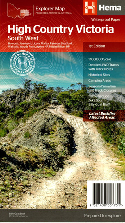
High Country Victoria South West Map Hema
$15.95
18 in stock
Description:
The Victorian High Country – South Western Map (1st edition)
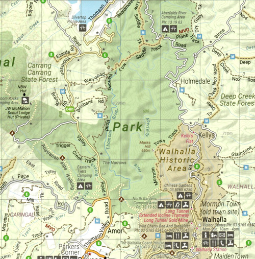
This map is part of Hema’s new Victorian High Country Map Series and covers the Southern Ranges Areas including Baw Baw to Dargo and surrounds. Printed on durable waterproof paper, this map features Hema’s iconic mapping and extensive points of interest. Featuring roads and 4WD tracks field-checked by the Hema Map Patrol for superior accuracy.
It combines Hema’s entire database of roads and 4WD tracks with touring points of interest and topographic information. Also included are seasonal track closures, camping areas, old townsites, huts, accommodation and distances.
Key Features
- 4WD tracks
- Huts
- Camping areas
- Old townsites
- Seasonal track closures
- Road distances
- Accommodation
Lake Eildon Jamieson Howqua Frys Hut Kevington Knockwood Woods Point Matlock Aberfeldy Lake Thompson Walhalla Rawson Licola Grant Historic Site Dargo Eaglevale Valencia Creek Glenmaggie Cowwarr Heyfield Stratford Maffra Briagolong
Key Specifications
Edition: 1st
Publication Date: 15/10/20
Scale: 1:100,000
Folded size (WxHxD): 140mm x 250mm x 3mm
Flat size (WxH): 700mm x 1000mm
Weight: 0.09kgs
ISBN 9321438001751
Covers the following Vicmap 1-50,000 scale maps
Skene, Moroka, Steve, Aberfeldy, Wellington, Tabberabbera, Walhalla, Maffra, Linednow, Moe, Rosedale, Seacombe