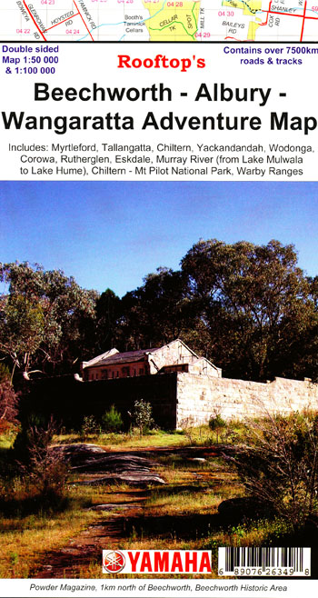
Beechworth Albury Wangaratta Adventure Map Rooftop
Price range: $11.95 through $25.00
Description:
Beechworth Albury Wangaratta Adventure Map Rooftop
Explore the Murray Valley and North East Victoria
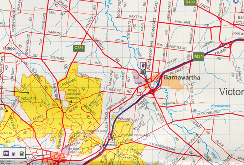
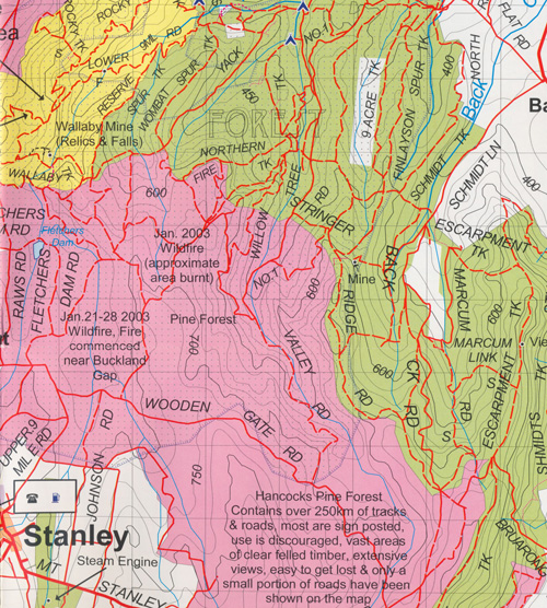
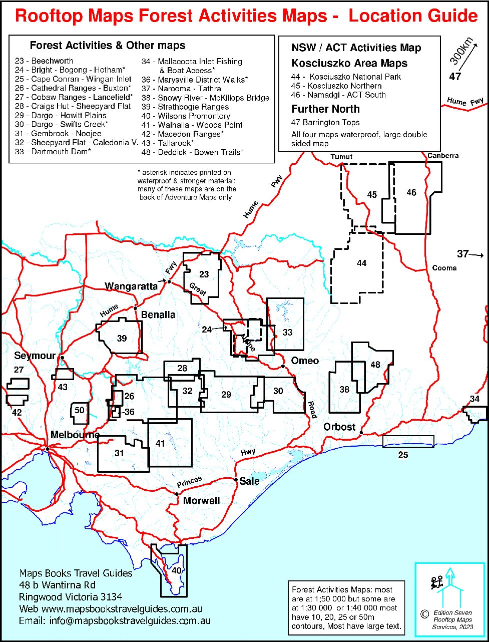
Map coverage is from Rutherglen to Hume Weir and Tallangatta in the north and from Wangaratta to Myrtleford and Eskdale in the south. Beechworth is positioned approximately in the centre. Also a small inset of the Warby Ranges
Other features
Corowa, Rutherglen, Milawa, part of the Warby Ranges, Lower Ovens State Park, the Murray River Lake Mulwala to Lake Hume, Tarrawingee, Eldorado, Springhurst, Everton, Wahgunyah, Chiltern, Mt Pilot National Park, Beechworth, Stanley, Whorouly, Barnawatha, Howlong, Nine Mile Historic Area, Albury, Wadonga, mbtg Yackandandah, Dederang, Mount Jack North, Gundowring, Tangambalanga, Yabba, Noorongong.
The reverse side is a larger map 1-50,000 scale of Chiltern and Barnawatha to Wodonga, south to Myrtleford and Whorouly South.
Scale of 1-100,000
ISBN 689076263498