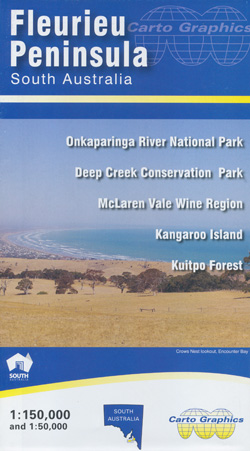
Fleurieu Peninsula Map Carto Graphics
$12.95
1 in stock
Description:
Fleurieu Peninsula Map Carto Graphics
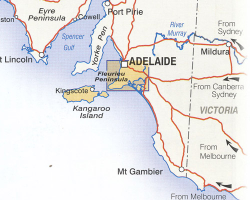
Covering the Fleurieu Peninsula in South Australia from Adelaide to Cape Jervis across to Meningie and Tailem Bend. Fleurieu Peninsula Map – Carto Graphics. 1:150,000 scale covering the Fleurieu Peninsula region to the south of Adelaide. Detailed roads and road names, parks, cellar doors, hill shading and more. Clearly displays the long-distance Heysen Trail.
Fleurieu Peninsula Map – Carto Graphics 1:150,000 scale covering the Fleurieu Peninsula region to the south of Adelaide. Detailed roads and road names, parks, cellar doors, hill shading and more. Clearly displays the long-distance Heysen Trail, Map reverse side has 1:50,000 scale McLaren Vale Wine Region map and 1:50,000 scale topographic standard maps for the popular Deep Creek Conservation Park and Kutpo Forest areas. Index for Towns and localities, parks and reserves, winery cellar doors.
Scale: 1:150 000
Size: 1000 x 690 mm
Reverse includes inset maps of:
McLaren Vale Wine Region – 1: 50 000
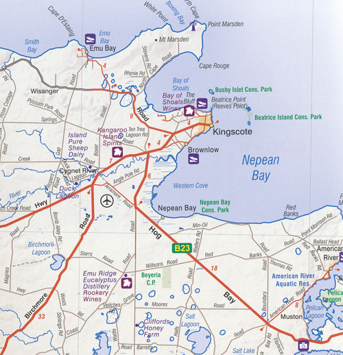
Kangaroo Island – 1: 300 000
Kuitpo Forest Reserve – 1: 50 000
Deep Creek Conservation Park – 1: 50 000
ISBN 9780645154498