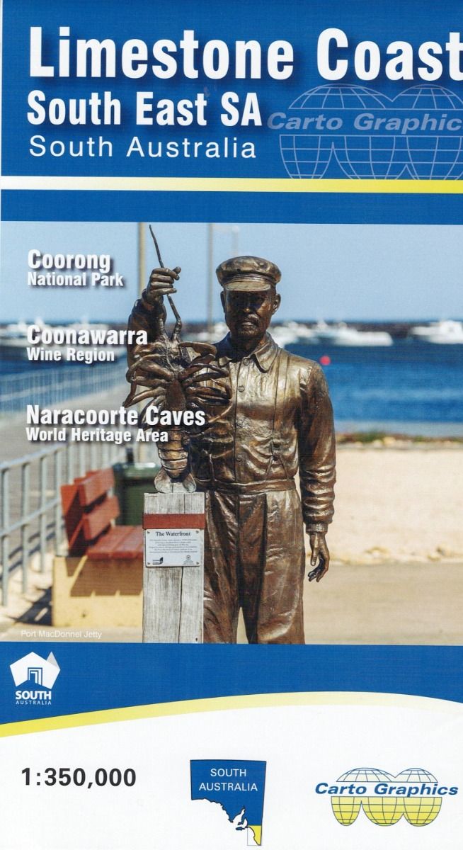
Limestone Coast South East SA Map Carto Graphics
$12.95
6 in stock
Description:
Limestone Coast South East SA Map Carto Graphics
Tailem Bend and Goolwa to Nelson
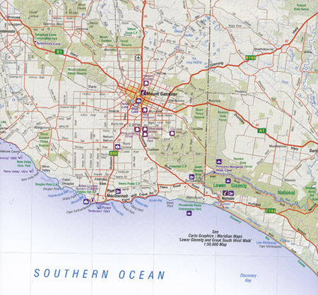
Coverage includes the entire coast from Nelson to the Murray Mouth near Goolwa and inland to the Mallee Highway from Murrayville to Tailem Bend.
There is an enlargement of the Coonawarra Wine Region, an index to towns, localities, parks & reserves and facility symbols for visitor information centres, cellar doors, lookouts, camping and boat ramps.
Main Features of this map:-
Lake Alexandrina, Coorong National Park, Tallem Bend, Ngarkat Conservation Area, Victorian Border and part of the Big Desert Wilderness Area, Lamaroo, Coonalpyn, Tintianara, Milang, Murrayville, Bordertown, Keith, Kaniva, the western edge of the Little Desert National Park, Kinston SE, Robe, Beechport, Penola, Narracorte, Edenhope, Lake George, Lake Eliza, Lucindale, Millicent, Mount Gambier, Nelson, Lake Bonney, Port MacDonnell, Datmoor, Canunda National Park
Scale: Main Map: 1:350,000
Published: 2023
ISBN: 9780645771305