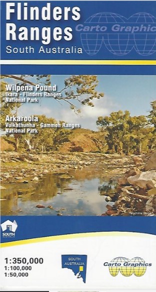
Flinders Ranges Map Carto Graphics
$12.95
7 in stock
Description:
Flinders Ranges Map Carto Graphics.
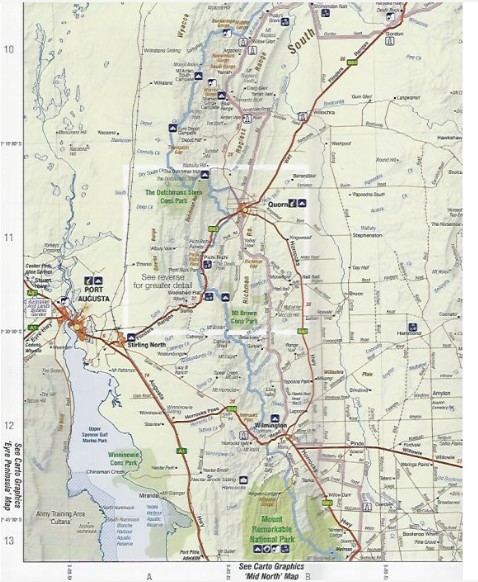
The front side covers the area from Yunta/Orroroo/Wilmington northwards to Farina/ Mt Freeling/Arkaroola at 1:350,000 scale. It shows full road and public track network, National, Conservation and private parks, Heysen & Mawson Trails, all overlaying an attractive hill-shaded backdrop with extensive geographical feature names.
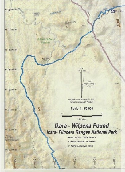
The reverse side features expanded scale, topographic style maps over selected popular areas. Wilpena Pound is covered at high detail 1:50,000 scale suitable for walkers and general tourist use in this popular area. The Quorn/ Pichi Richi/ Dutchmans Stern and Mount Brown area is covered by a 1:100,000 scale map as is the Flinders Ranges National Park. Vulkathuna-Gammon Ranges National Park and Arkaroola Protected Area are covered in a single 1:200,000 scale map. All these maps show road and track detail, contours & hill shading, walking trails, campgrounds, and significant features.
Also includes are tables for fuel availability, distance chart and station stays & drives.
Size 690mm x 1000mm folded to 140mm x 250mm
ISBN 9780645154412