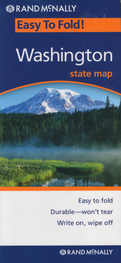
Washington State Map Rand McNally
$19.95
1 in stock
Description:
Washington State State Map Rand McNally Easy To Fold State Folded Map is a must-have for anyone traveling in and around Washington, offering unbeatable accuracy and reliability.
- Regularly updated, full-color maps
- 30 larger map with a bigger type size than the Rand McNally Folded Map
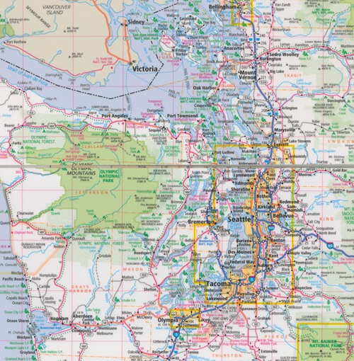
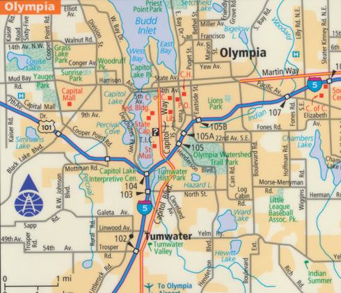
- Clearly labeled Interstate, U.S., state, and county highways
- Indications of parks, points of interest, airports, county boundaries, and more
- Mileage and driving times map
- Detailed index
- Convenient folded size
| ISBN | 9780528994951
070609994956
|
| Coverage Area | Detailed maps of: Bellingham, Mount Rainier National Park, Olympia, Seattle/Tacoma & Vicinity, Downtown Seattle, Spokane, Vancouver, Yakima |
Read More