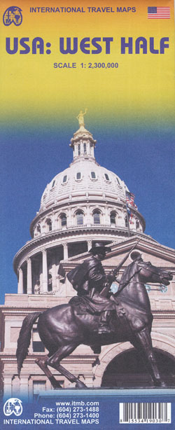
USA West Half Map ITMB
$24.95
1 in stock
Description:
The West Half of the USA is more arid and less populated than the East, and the mountain ranges are more dramatic, so the colour variation on this map is more significant. The West map is also double-sided, divided into two parts: the westernmost segment, the Pacific coastal States and their adjacent interior neighbouring States, are on one side, along with inset maps of the San Francisco Bay area and the Greater Los Angeles freeway system.
With a small amount of overlapping, the other side covers the Rocky Mountain States and the Great Plains as far as Houston in the south and Fargo in the North. Insets of Denver and San Antonio are also provided. The place names index has been sorted by side, so everything related to Colorado, for instance is on the same side. Finally, some coverage of Mexico on the south and Canada on the north has been provided for cross-border travellers. This is an excellent long-distance travel map.
It shows pertinent information for travellers much better than other maps. This is a first edition, and it is of a densely populated nation that lives in small towns, so there are a LOT of place names. We have done our best on both sheets to portray the USA comprehensively and accurately.
ISBN 9781553419037
815534190307

