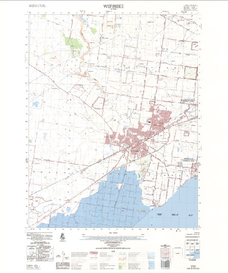
Werribee 1-50,000 Topographic Map 7822-3 VICTORIA 1990 Edition
$14.95
Description:
Werribee 1-50,000 Topographic Map 7822-3 VICTORIA 1990 Edition Print on Demand
Locations within this Map
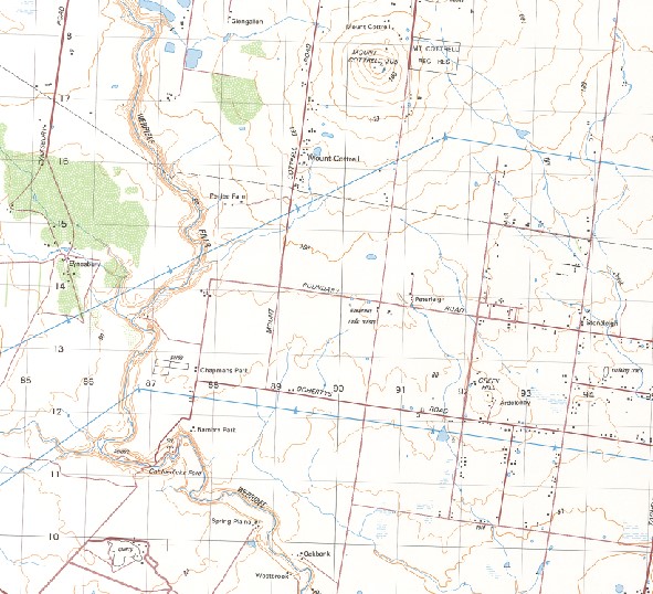
Warrawong Clare Park Strathtulloch Mount Cottrell Sarbiton Park Glengallon Kintbury Eynesbury Peterleigh Arva Tibbermore Bambra Park Spring Plains Westbrook Oakbank Quondong Park Manor Park Glendevon Glencoe Rockleigh Baden Powell P-9 College Derrimut Heath Campus Baden Powell P-9 College Tarneit Campus Bellbridge Primary School Bulban Campbells Cove Carranballac P-9 College Boardwalk Campus Cherrys Creek Chirnside Park Cobbledick Ford Cocoroc Cowies Hill Deutgam Dry Creek Galvin Park Werribee Technical School Gary Davidson Bmx Track George Cavanagh Reserve Glen Devon Primary School Glenorden Primary School Gordon O’Keeffe Reserve Grahams Wetland Reserve Three Stone Hill Green Hill Hoppers Crossing Hoppers Crossing Secondary College Hoppers Hill Iramoo Primary School James D Bellin Reserve Joseph Lanyon Reserve Kiah Reserve Kirrip Wurrung Biik Park Laverton R A A F Base Little River Lollypop Creek M M B W Outfall Sewer Maltby Bypass Mambourin Manor Lakes P-12 Specialist College Manorvale Primary School Mooradoranook Mossfiel Primary School Mount Atkinson Mount Pywheitjorrk Point Cook Primary School Point Cook Senior Secondary College Presidents Park Pywheitjorrk R A A F Point Cook Rees Park Riverbank Car Park Rothwell Bridge Rothwell Reserve Sayers Road Bridge Shaws Bridge Skeleton Waterholes Creek Straughton Bridge Suzanne Cory High School Tarneit The Grange Secondary College Werribee Meadows Primary School W Ison Reserve Warringa Park School Wayaperri House Werribee Werribee Hospital Werribee Magistrates Court Werribee Park Werribee Park Primary School Werribee Police Station Werribee Post Office Werribee Primary School Werribee Racecourse Werribee River Werribee Secondary College Werribee South Williams Landing Railway Station Woodville Park Woodville Primary School Wyndham City Wyndham Special School Wyndham Vale Reserve Exford Banbrae Park Mount Cotterell Derrimut Truganina Laverton Manor South Werribee
| Name: | Werribee |
| Publisher: | Geoscience Australia (Australian Government) |
| Scale: | 1:50000 |
| Latitude Range: | 37° 45.0′ S – 38° 0.0′ S |
| Longitude Range: | 144° 30.0′ E – 144° 45.0′ E |
| Projection / Datum: | Universal Transverse Mercator, GDA94 or WGS84 |
| Approx Print Size: | 0.56m X 0.56m |
| Publication Date: | 1-Jun-90 |


