


West MacDonnells National Park Map 2 Eastern
$15.95
Description:
West MacDonnells National Park Map 2 Eastern Map Now Print on Demand
Eastern Part of the Larapinta Trail
Australia’s Red Centre and walking the Larapinta Trail
At this scale 1cm on the map represents 1km on the ground. This map covers a minimum area of 1 degrees longitude by 0..57 degrees latitude or about 96km by 63km (eastern section of the area). The contour interval is 20m.
This map contains natural and constructed features including road and rail infrastructure, vegetation, hydrography, contours, localities and some administrative boundaries.
ISBN 9314231000403
Map 1 Below
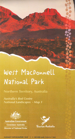 West MacDonnells National Park Map 1 Western
Read More