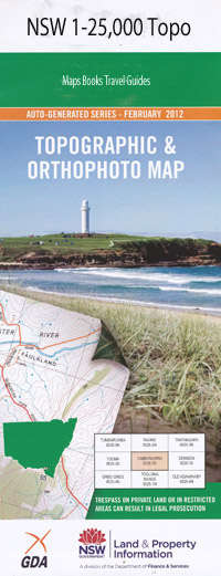
Willuri 1-25,000 NSW Topographic Map
$16.95 – $31.95
Description:
8936-1-S Print on Demand
Locations within this Map
Bunaleer Merrinong Sunshine Cartref Narrawarra Lyndhurst Tara Glenalmond Glenbrae Carramundra Fairfield Retreat Glenloch Woodlands Nioka South Womboyne Pillerine Glenroc Wongaloo Yarrawonga Belmont Highview Kerry Kyabra Croydon Corella Barneys Gully Barneys Spring Creek Bayley Park Creek Buchanans Creek Conglomerate Creek Dam Gully Haystack Rock Kelvin State Forest Orphants Well Creek Our Hill Pistol Creek Rangira Rioters Hill Round Hill Sandy Creek Mount Surprise Tulcumba Watercress Gully Wean Creek Well Gully Willuri Wongo Creek Rangira Creek Rangari Rangari Creek Wean
| Name: | Willuri |
| Publisher: | New South Wales Government |
| Scale: | 1:25000 |
| Latitude Range: | 30° 37.5′ S – 30° 45.0′ S |
| Longitude Range: | 150° 15.0′ E – 150° 30.0′ E |
| Datum: | GDA 94 |
| Approx Print Size: | 0.56m X 1.11m |
Read More

