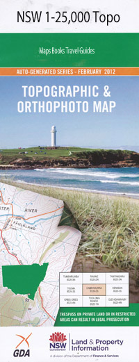
Winton 1-25,000 NSW Topographic Map
$16.95 – $31.95
Description:
9035-4-N Print on Demand
Roslyn Kyndalyn Kaybee Olinga Glenfield Kurrawong Kallaroo The Prairie Sunningdale Glen Burn Telba Glenson Kilphysic Boomerang Glenelg Devon Jaffa Glendon Elstern Glen Avon Merlewood Glenarea Narooma Holwood Glen Oak Dalblair Cantrill Linfield Tyringabah Clifton Downfield Oakleigh Royston Kevic Braeside Rosslyn Debdhill Allambie Venture Coppins Glen-Allen Babbinboon Babbinboon Mountain Bective Boggy Camp Gully Campbells Gully Crag Hill Dead Bull Pinnacle Dead Horse Creek Eaglehawk Hill Figtree Creek Figtree Mountain Geological Heifer Creek Jacks Camp Spring Dead Horse Gully Eagle Hawk Mountain Fig Tree Gully The Gap Lime Rock Hill Melville Range Moolunmoola Moolunmoola Mountain Mountain Creek Oakey Creek Oaky Creek Peel Range Piallaway The Pinnacle Porters Camp Spring Spring Mountain Swains Creek Taggarts Mountain Thunderbolt Thunderbolt Lookout Thunderbolt Mountain Turtle Creek Winton Yarran Creek Donnellys Gap Donnellys Springs Creek Drummers Hill Somerton Melville Range Nature Reserve
| Name: | Winton |
| Publisher: | New South Wales Government |
| Scale: | 1:25000 |
| Latitude Range: | 31° 0.0′ S – 31° 7.5′ S |
| Longitude Range: | 150° 30.0′ E – 150° 45.0′ E |
| Datum: | GDA 94 |
| Approx Print Size: | 0.56m X 1.11m |

