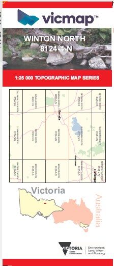

WINTON NORTH 1-25,000 Vicmap Topo Map 8124-4-N
Price range: $14.00 through $26.00
Description:
WINTON NORTH 1-25,000 Vicmap Topographic Map 81244N Now Print On Demand is used for Walking, 4WD, Fishing, Camping, Motorcycle, both On and Off Road, Gold Prospecting and for those simply going for a family weekend drive.
This is a new series of 1-25,000 scale maps, all of Victoria is now covered by these maps, including maps over the South Australian and NSW Borders.
Topographical maps show not only Contours of the Terrain but Walking Tracks, Sealed and Unsealed Roads, Rivers, Creeks, Lakes, Historical Points of Interest mbtg, Old Mine Sites mbtg and National and State Park areas.
Main Features of this map includes:
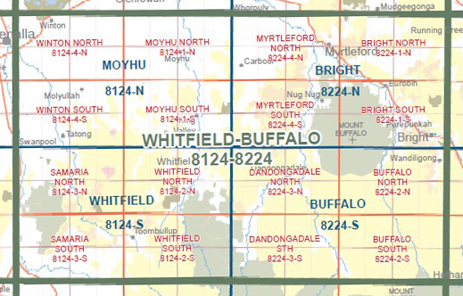
Cover the old series 1-25,000 Vicmaps Lurg and Winton
Winton, Lurg, BENALLA MOKOAN Discovery Trail, Kilfeera, Winton Motor Raceway, Edge of Benalla, Glenrowan West, Upper Lurg, Greta West, Ryans Creek, Greta South, The Gathering Place
You may also like…
-
WINTON SOUTH 1-25,000 Vicmap Topo Map 8124-4-S
Price range: $14.00 through $26.00Select options This product has multiple variants. The options may be chosen on the product page -
Moyhu 1-50,000 Vicmap
Price range: $12.00 through $24.00Select options This product has multiple variants. The options may be chosen on the product page