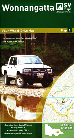
Wonnangatta 4WD Map 6 Spatial Vision
Description:
Discontinued Product
This “Four Wheel Drive Map” Wonnangatta 4WD Map 6 Spatial Vision is at a scale of 1-100,000 covering the areas of Mt Buller and Hotham in the North to the edge of Taberabberra in the South.
Major Features include:
Many Camp Sites, Huts and walking tracks. Historic Sites.
It also has street level maps of Omeo, Jamieson, Licola, Woods Point, Mt Buller, Dinner Plain, Dargo, Mansfield and Hotham Heights.
The series has GPS Listings for Recreation Sites, Track Classifications, Driving and Safety Tips.
First Edition October 2010
Read More