Toogimbie 1-50,000 NSW Topographic Map
Price range: $16.95 through $31.95
Description:
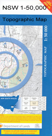
Toogimble 7728N 1-50,000 scale NSW Topographical map is used for Walking, 4WD, Fishing, Camping, Motorcycle, both On and Off Road, Gold Prospecting and for those simply going for a family weekend drive.
Topographical maps show not only Contours of the Terrain but also Walking Tracks, Sealed and Unsealed Roads, Rivers, Creeks, Lakes, Historical Point of Interest, Old Mine Sites and National and State Park areas.
 We can Now LAMINATE and fold your map for $12.00. Just click on the image and add to the Trolley
Bahpunga Bluff Black Creek Caira Cutting Fiddlers Creek Jeraly Jeraly Hill Magnolia Nap Nap Nerang Nicholson Old Channel Rookery Russell St Pauls Sinclair Tchelery The Oaks Toogimbie Tank Willis Wingara Tank Wingen Yanga Derinum Nimming Pollen Lincoln Torry Plain Gum Creek The Gum Creek Ravensworth Hells Gate Saint Pauls Red Hill
| Name: | Toogimbie |
| Publisher: | New South Wales Government |
| Scale: | 1:50000 |
| Latitude Range: | 34° 30.0′ S – 34° 45.0′ S |
| Longitude Range: | 144° 0.0′ E – 144° 30.0′ E |
| Datum: | GDA 94 |
| Approx Print Size: | 0.56m X 1.11m |