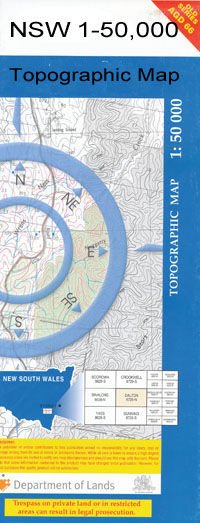
Wentworth 1-50,000 NSW Topographic Map 7229N
Price range: $16.95 through $31.95
Description:
Wentworth 7229N 1-50,000 scale NSW Topographical map is used for Walking, 4WD, Fishing, Camping, Motorcycle, both On and Off Road, Gold Prospecting and for those simply going for a family weekend drive.
Topographical maps show not only Contours of the Terrain but also Walking Tracks, Sealed and Unsealed Roads, Rivers, Creeks, Lakes, Historical Point of Interest, Old Mine Sites and National and State Park areas.
NOW AVAILABLE PRINT ON DEMAND
Locations within this Map
Warrananga Oakbank Fort Courage Upper Kulnine Moorna Kablan Wentworth Bates Reach Boorroo Cadell Reef Capitts Creek Carrs Billabong Carrs Creek Cowanna Reef Cowra Rocks Crozier Rock Curlwaa Eureka Rocks Fletchers Creek Fotherby Park Jacksons Reach Junction Island Charles Sturt Memorial Park Deep Crossing Five Mile Creek Frank Fotherby Park Iklers Creek Lachlan Mcleod Memorial Oval Little Manly Lock No 9 Lock No 10 Mcleod Oval Mares Creek Moorna State Forest Neds Corner Neds Corner Island O’Donnell Park Pertha Pink Lake Police Paddock Pomona Pomona Public School Rundeah Sandy Creek Six Mile Creek Snaggy Point Strother Park Sturt Park Swifty Creek Theago Lagoon Theoga Lagoon Thingoa Three Mile Creek Tincha Creek Tuckers Creek Tultunga Victoria Rocks Warananga Swamp Weir and Lock 10 Wentworth Aerodrome Wentworth Landing Ground Wentworth Post Office Wentworth Public School Williamsville Willong Bunberoo Creek Butchers Tank Wentworth Lock Perry Sand Dunes Crozier Taranga Utah Neilpo Tiltao Hawdons Plains Abbotsford Bridge Boy Creek Deep Creek Horseshoe Lagoon Lock No. 9 Lock No.10 Main Channel Mullroo Creek O’Day Tulillah Wallpolla Wallpolla Creek Wallpolla Island Wargan Western Channel Yelta Warranaga Darling River ODonnell Park Great Anabranch of Darling River Ana Branch of Darling Lock Number Ten Weir and Lock Ten Lock Number Nine
| Name: | Wentworth |
| Publisher: | New South Wales Government |
| Scale: | 1:50000 |
| Latitude Range: | 34° 0.0′ S – 34° 15.0′ S |
| Longitude Range: | 141° 30.0′ E – 142° 0.0′ E |
| Datum: | GDA 2020
Edition 2022 |