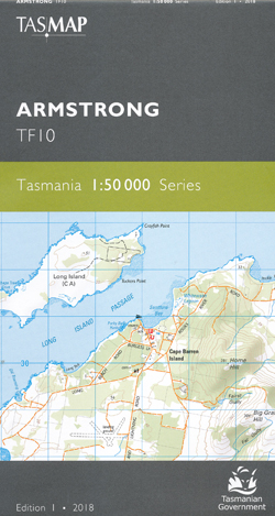
Armstrong 1-50,000 Topographic Map Tasmap
$13.95
1 in stock
Description:
Armstrong 1-50,000 Tasmap Topographic Map
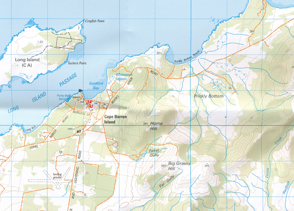
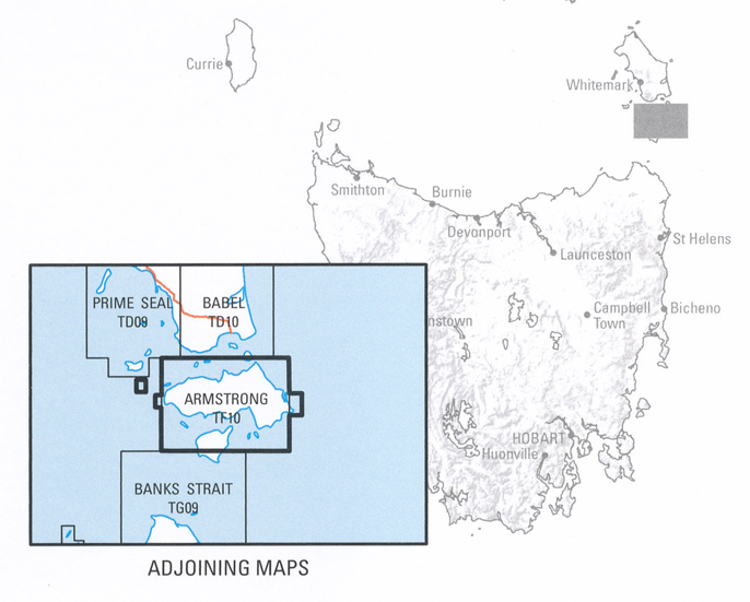
This map is dominated by truwana / Cape Barren Island. Also included are the northern part of Clarke Island, Anderson, Long, Preservation, Forsyth and Passage Islands. The highest point of Mount Munro (711m) overlooks the Cape Barren Island settlement. The Sydney Cove Historic Site, at the southern tip of Preservation Island, played a role in the early navigation and charting of Tasmania by Lt. Matthew Flinders. Contact the Cape Barren Island Aboriginal Association (CBIAA) for information on accessing truwana / Cape Barren Island.
The design of the 1:50 000 Map Series will provide clear and accurate portrayal of topographic information, with symbols and map content giving enhanced depiction of buildings, hill shading and a simplified classification of vegetation.
| Product Number: | TF10 |
| ISBN | 9318923027426 |
| Edition: | 1 |
| Production Year: | 2018 |
| Datum: | Geocentric Datum of Australia 1994 (GDA94) |
| Scale: | 1:50000 |