AVOCA SOUTH 1-25,000 Vicmap Topographic Map 7523-1-S
$14.00 – $26.00
Description:
AVOCA SOUTH 1-25,000 Vicmap Topographic Map 75231S Now Print On Demand is used for Walking, 4WD, Fishing, Camping, Motorcycle, both On and Off Road, Gold Prospecting and for those simply going for a family weekend drive.
This is a new series of 1-25,000 scale maps, all sections of Victoria are now covered by these maps, including maps over the South Australian and NSW Borders.
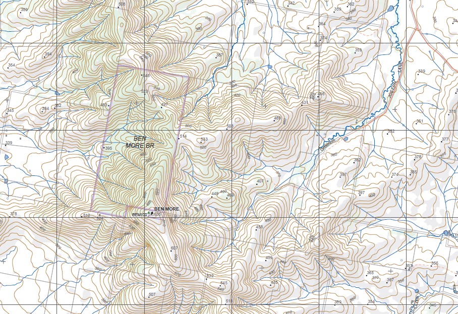
Topographical maps show not only Contours of the Terrain but Walking Tracks, Sealed and Unsealed Roads, Rivers, Creeks, Lakes, Historical Points of Interest, Old Mine Sites, mbtg and National and State Park areas.
Main Features of this map includes:
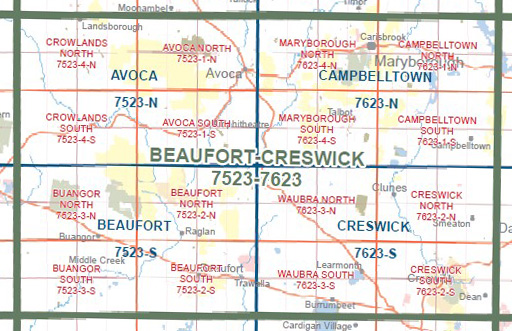
THIS MAP DOES NOT COVER AVOCA
Part of the Great Dividing Range, Part of the Pyrenees Range SF, Nowhere Creek, Glenpatrick, Elmhurst, Rosyth, Amphitheatre, Glenlogie, Ben More, Webster Track, Part of St Arnaud – Pyrenees SF, Radigan Track, Porcupine Track, Mountain Hut Track, Point Patrick, Sandy Creek Elmhurst SSR, mbtg, Mount Direction, Amphitheatre Reservoir, Green Hill Creek, Mt Cole / Beeripmo SSR, Pumpkin Point, Sugarloaf Hill, Bet Bet Creek, Part of Mt Lonarch /Berumgower SF, Little Wimmera River, Phillipson Creek Track, Phillipson Link Track, Albion Sawmill HR.


