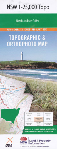
Bald Blair 1-25,000 NSW Topographic Map
$16.95 – $31.95
Description:
9237-1-S
Bald Blair 92371s 1-25,000 scale NSW Topographical map is usedfor Walking, 4WD, Fishing, Camping, Motorcycle, both On and Off Road, GoldProspecting and for those simply going for a family weekend drive.
Topographicalmaps show not only Contours of the Terrain but also Walking Tracks, Sealed andUnsealed Roads, Rivers, Creeks, Lakes, Historical Point of Interest, Old MineSites and National and State Park areas.
 Laminate and folded this NSW Topographical map, $12.00 see below.
This map includes the following localities: Peru Coraleigh Mount Duncan Willows The Bandrum East Lynne Kildare Killarney Kamballie Springsure Springfield Rhyana Tareela Hallsbrook Bonnie Gowan East Bonnie Gowan Glenroy Inglewood Stormgully Calga Outer Bald Blair Balway Waverley Gap View New Trap Gully Mount View Fern Hill Bald Blair Glen Ross Glenene Chandlers Peak Caramana Karingal Carawatha Edenglen Kolara Glenella Anunaka Stonebrook Coolhill Muldowns Kiawarra Billabong Brockley Little Plain Trigaire North Johns Creek Balblair Lagoon Balblair Range Balblair Sugarloaf Bald Blair Lagoon Bald Blair Public School Bald Blair Range Bald Blair Sugarloaf The Bald Rock The Black Mountain Black Gully Bora Hill Bora Mountain Day Days Ridge Duncan Garland Peak Gill Hallorans Hill Joeys Knob Days Creek Days Mountain Fletchers Seat Hallorans Mountain Little Bald Rock Long Swamp Creek The Long Swamp Nowland Nowlands Backwater Nowlands Creek Oban Rocky Gully Saw Pit Gully Spring Creek Stanton Thompsons Gully Tims Gully Tubbamurra Warner Wentworth Mount William Diggers Hill Yellow Gap One Tree Swamp Sheep Station Swamp Hourigan
| Scale: | 1:25000 |
| Latitude Range: | 30 07.5 S – 30 15.0 S |
| Longitude Range: | 151 45.0 E – 152 00.0 E |
| Approx Print Size: | 0.56m X 1.11m |
| Projection: | Transverse Mercator |

