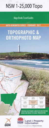
Baryulgil 1-25,000 NSW Topographic Map
$16.95 – $31.95
Description:
9439-4-S Print on Demand
Baryulgil 94394s 1-25,000 scale NSW Topographical map is usedfor Walking, 4WD, Fishing, Camping, Motorcycle, both On and Off Road, GoldProspecting and for those simply going for a family weekend drive.
Topographicalmaps show not only Contours of the Terrain but also Walking Tracks, Sealed andUnsealed Roads, Rivers, Creeks, Lakes, Historical Point of Interest, Old MineSites and National and State Park areas.
 Laminate and folded this NSW Topographical map, $12.00 see below
This map includes the following localities: The Farm Yulgibar Baryulgil Baryulgil Public School Bens Black Gully Black Leg Gully Black Gully Bora Ring Hill Bradeys Creek Bridle Swamp Brindle Swamp Brindle Swamp Creek Bugilbar Creek Bugilbar Gap Bulginbar Creek Camp Creek Cave Gully Cawleys Creek Church Hill Churchill Curries Hill Fine Flower Creek Five Mile Crossing Flagstone Creek Flat Top Mountain Garden Brook Grasstree Ridge Horseshoe Bend Horseshoe Crossing Jerusalem Creek Josephs Creek Cave Creek Chainy Creek Chainy Waterholes Creek Curries Mountain Deep Creek Harrington Mountain 1st Branch Creek Kungabarin Kungurrabar Hill Kurrajong Creek Laundry Crossing Left Hand Creek Lionsville Little Townshend Range Mccalls Creek Malabugilmah Mays Camp Creek Mays Creek Mays Gully Mookima Mount Mookima New Yard Gully Oakey Creek Oaky Creek Oaky Gully Ogilvie Mount Ogilvie Peach Tree Creek Peach Tree Gully Pickabooba Pickabooba Branch Pickabooba Creek Mount Pickabooba Powarpar Creek Mount Powarpar Powarpar Mountain Red Hill Reedy Creek Rocky Top Rocky Top Hill Rodham Round Top Sandy Creek Sawyers Creek 2nd Branch of Josephs Creek Snobbs Creek Teatree Gully The Horseshoe The Pig Farm 3rd Branch Top Horseshoe Crossing Townshend Gully Townshend Range Townshend Ridge Tumbung Creek Tumbung Gully Wards Gully Washpool Creek Waterhole Creek Wattle Point Creek Wild Horse Creek Willows Gully Wilsons Creek Yard Creek Yulgilgiarra Range Yulgilgiarra Ridge Bull Island Bulls Nest Bulls Nest Creek Drake Dubadar Creek Dome Mountain Creek
| Scale: | 1:25000 |
| Latitude Range: | 29 07.5 S – 29 15.0 S |
| Longitude Range: | 152 30.0 E – 152 45.0 E |
| Approx Print Size: | 0.56m X 1.11m |
| Projection: | Transverse Mercator |

