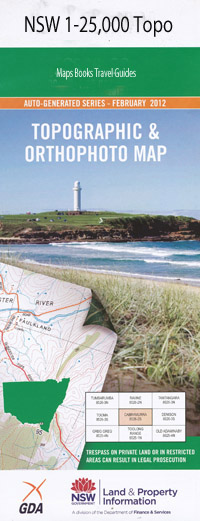
Batlow 1-25,000 NSW Topographic Map
$16.95 – $31.95
Description:
8526-4-N
Batlow 85264n 1-25,000 scale NSW Topographical map is usedfor Walking, 4WD, Fishing, Camping, Motorcycle, both On and Off Road, GoldProspecting and for those simply going for a family weekend drive.
Topographicalmaps show not only Contours of the Terrain but also Walking Tracks, Sealed andUnsealed Roads, Rivers, Creeks, Lakes, Historical Point of Interest, Old MineSites and National and State Park areas.
 Laminate and folded this NSW Topographical map, $12.00 see below
This map includes the following localities: Batlow Adelong Creek Batlow Central School Batlow Post Office Batlow Railway Station Batlow Showground Big Stringybark Mountain The Big Stringy Bark Black Creek Boggy Creek Boggy Gully Brennans Creek Brennans Gully Clear Creek Clydes Creek Deep Gully Devils Gully Faheys Creek Gannons Creek Hume and Hovell Lookout Inspiration Point Johnsons Gully Deep Creek Faheys Gully Gilmore Sheep Station Creek Kunama Kunama Railway Station Village of Kunama Laurel Hill Laurel Hill Public School Little Gilmore Creek Loughlins Gully Mandys Creek Mica Creek Mica Gully Piding Creek Pilot Hill Poison Rock Creek Reedy Flat Ridings Creek Rocky Gully Rutherfords Ridge Rutherfords Range Sailors Gully Selwyn Settlement Creek Sheep Station Gully Snubba Snubba Creek Spring Creek Stockyard Gully The Devils Gully Walker Creek Wambat Gully Wild Duck Creek Wild Duck Gully Wilkinsons Creek Wombat Gully Yellowin Creek Helms Flora Reserve Pegmill Creek Yellowin Forest Park Batlow Technology School
| Scale: | 1:25000 |
| Latitude Range: | 35 30.0 S – 35 37.5 S |
| Longitude Range: | 148 00.0 E – 148 15.0 E |
| Approx Print Size: | 0.56m X 1.11m |
| Projection: | Transverse Mercator |

