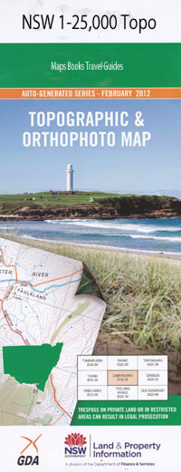
Ben Lomond 1-25,000 NSW Topographic Map
$16.95 – $31.95
Description:
9237-4-N
Ben Lomond 92374n 1-25,000 Scale NSW Topographical Map is usedfor Walking, 4WD, Fishing, Camping, Motorcycle, both On and Off Road, GoldProspecting and for those simply going for a family weekend drive.
Topographicalmaps show not only Contours of the Terrain but also Walking Tracks, Sealed andUnsealed Roads, Rivers, Creeks, Lakes, Historical Point of Interest, Old MineSites and National and State Park areas.
 Laminate and folded this NSW Topographical map, $12.00 see below.
This map includes the following localities: Moredun Briar Lea Rock View Highfield Glenbrook Brucelyn Loganville Mount Pleasant Burma Strabanne Box Hills Rosslyn Tighvonie Springvale Glenayr Woollala Yoolimba Ban Wyong Glen Park Ryanda Creek Belmore Hawkes Farm Koh-I-Nol Yarringdale Ben Lomond Tyla Forest Rosebank Karan Ban Ban Reeves Dale Yallundry New Haven Why Worrie Framar Melody Sunnyside Pine Grove Danebury Ollera Cabar Feidh Barenbah Happy Valley Springfield Aberdeen Millbrook Primrose Rosehill Knockshegowna Ban Ban Creek Ban Ban Gully Ben Lomond Cemetery Ben Lomond Public School Ben Lomond Railway Station Ben Lomond Range The Brothers Everett Happy Valley Creek Head of Limestone Creek Llangothlin Mackenzie The Pepberbox Range Pepperbox Ridge Ryanda Thebros Two Mile Creek Wandsworth Willis Creek George Stanton Lookout
| Scale: | 1:25000 |
| Latitude Range: | 30 00.0 S – 30 07.5 S |
| Longitude Range: | 151 30.0 E – 151 45.0 E |
| Approx Print Size: | 0.56m X 1.11m |
| Projection: | Transverse Mercator |

