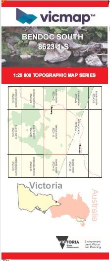
BENDOC SOUTH 1-25,000 Vicmap Topo Map 8623-1-S
Price range: $14.00 through $26.00
Description:
BENDOC SOUTH 1-25,000 Vicmap Topographic Map 86231S Now Print On Demand is used for Walking, 4WD, Fishing, Camping, Motorcycle, both On and Off Road, Gold Prospecting and for those simply going for a family weekend drive.
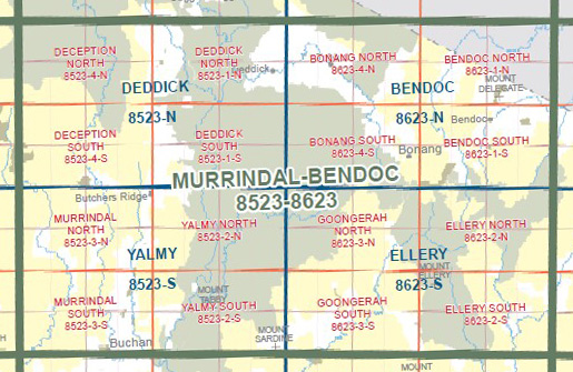
This is a new series of 1-25,000 scale maps, all sections of Victoria are now covered by these maps, including maps over the South Australian and NSW Borders.
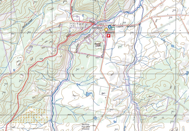
Topographical maps show not only Contours of the Terrain but Walking Tracks, Sealed and Unsealed Roads, Rivers, Creeks, Lakes, Historical Points of Interest, Old Mine Sites mbtg and National and State Park areas.
Main Features of this map includes:
Bendoc, Mount Bendoc, Bendoc State Forest, Bonang State Forest, Delegate River, MOUNT KOOLABBRA, The Gap State Forest, northern section of the ERRINUNDRA National Park, Cottonwood State Forest, The Forty Four Mine (Disused), Golden Eagle Mine (Disused), VICTORIA STAR MINE Historic Area, Sleeping Beauty Mine (Disused), mbtg, Musket Creek Reference Area (no public access), part of the ERRINUNDRA National Park
You may also like…
-
BENDOC NORTH 1-25,000 Vicmap Topo Map 8623-1-N
Price range: $14.00 through $26.00Select options This product has multiple variants. The options may be chosen on the product page -
Bendoc 1-50,000 Vicmap
Price range: $12.00 through $24.00Select options This product has multiple variants. The options may be chosen on the product page