

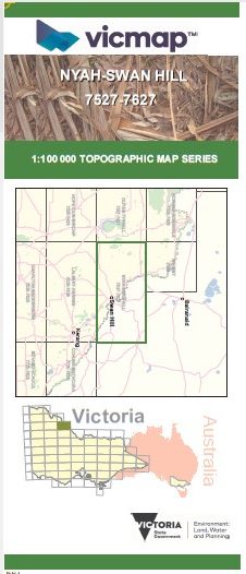

Berambong 1-50,000 Vicmap
Price range: $12.00 through $24.00
Description:
Berambong 1-50,000 scale Vicmap Topographical map 7627N is used for Walking, 4WD, Fishing, Camping, Motorcycle, both On and Off Road, Gold Prospecting and for those simply going for a family weekend drive.
Topographical maps show not only Contours of the Terrain but Walking Tracks, Sealed and Unsealed Roads, Rivers, Creeks, Lakes, Historical Point of Interest, Old Mine Sites and National and State Park areas.
Main Features of this map includes:
Only a corner of Victoria and the Murray River
Beveridge Island State Forest, Speewa Island and Creek, Wakool River and Edwards River, Pissen Creek, Speewa Island, mbtg, part of River Murray Reserve, Beverage Island, Tyntynder Central.
Read More
You may also like…
-
Nyah 1-50,000 Vicmap
Price range: $12.00 through $24.00Select options This product has multiple variants. The options may be chosen on the product page -
STONY CROSSING SOUTH 1-25,000 Vicmap Topo 7627-4-S
Price range: $14.00 through $26.00Select options This product has multiple variants. The options may be chosen on the product page -
Ultima 1-50,000 Vicmap
Price range: $12.00 through $24.00Select options This product has multiple variants. The options may be chosen on the product page -
Windomal 1-50,000 Vicmap
Price range: $12.00 through $24.00Select options This product has multiple variants. The options may be chosen on the product page -
Wetuppa 1-50,000 Vicmap
Price range: $12.00 through $24.00Select options This product has multiple variants. The options may be chosen on the product page -
Swan Hill 1-250,000 Topographic Map
Price range: $15.95 through $30.95Select options This product has multiple variants. The options may be chosen on the product page